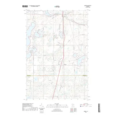
2022 Map of Gordon
USGS Topo · Published 2022About this map
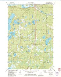
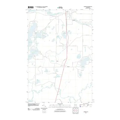
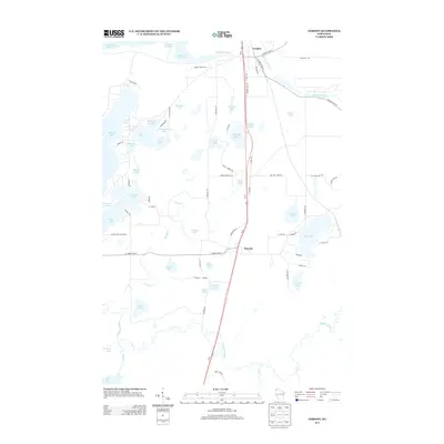
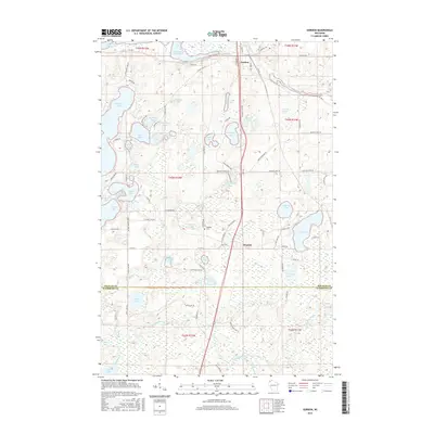
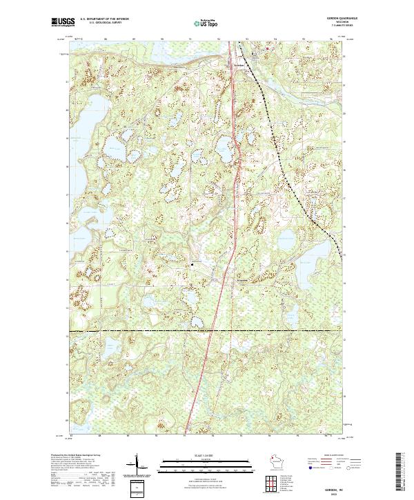
The Saint Croix River and Eau Claire River converge near the town of Gordon, defining a landscape where northern forests meet a dense network of glacial lakes. This 2022 survey captures the contemporary layout of the region, emphasizing the importance of recreation and conservation with the Wild Rivers State Trl cutting north-south through the terrain. The settlements of Gordon and Wascott serve as the primary hubs, each anchored by local landmarks like the Gordon Memorial Cem and Wascott Cem.
Find a feature on this map
94 named features on this map. Tap any name to fly to it.
Don’t see what you’re looking for? This feature index may not catch every label — zoom into the map to look around manually.
Map Details
Editions of this 2022 Gordon Map
This is the sole edition of this map. No revisions or reprints were ever made.
Historical Maps of Gordon Through Time
6 maps found