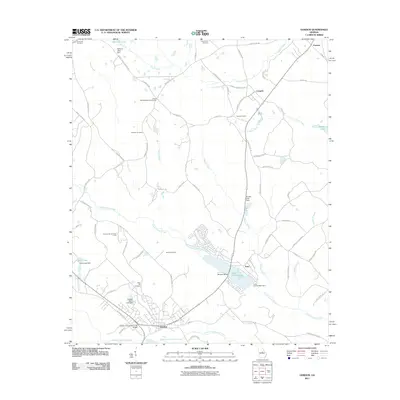
2011 Map of Gordon
USGS Topo · Published 2011About this map
Gordon serves as a central hub in this Wilkinson County landscape, where the geography is defined by industrial clay mining and a network of creeks. The town's proximity to the Freeport Kaolin Lake Dam points to the area's significant kaolin mining heritage. To the north, the settlement of Stevens Pottery further highlights the local industrial history tied to the earth. The terrain is marked by the winding courses of Commissioner Creek and Turkey Creek, which feed into various reservoirs like Lake Tchukolaho.
Find a feature on this map
77 named features on this map. Tap any name to fly to it.
Don’t see what you’re looking for? This feature index may not catch every label — zoom into the map to look around manually.
Map Details
Editions of this 2011 Gordon Map
This is the sole edition of this map. No revisions or reprints were ever made.
Other maps of this area

1912 · Milledgeville
USGS Topo · 1:62,500

1916 · Irwinton
USGS Topo · 1:62,500

1920 · Irwinton
USGS Topo · 1:62,500

1953 · Athens
USGS Topo · 1:250,000

1956 · Gordon
USGS Topo · 1:62,500

1957 · Macon
USGS Topo · 1:250,000

1958 · Macon
USGS Topo · 1:250,000

1958 · Athens
USGS Topo · 1:250,000

1959 · Athens
USGS Topo · 1:250,000

1963 · Athens
USGS Topo · 1:250,000