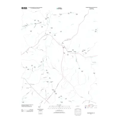
2013 Map of Gordonsburg
USGS Topo · Published 2013About this map
Gordonsburg and Salem anchor this portion of the Highland Rim in Lewis County, where the landscape is defined by an intricate network of deep hollows and narrow ridges. The terrain is marked by family-named landmarks and historical drainage patterns, including Big Swan Cr and its many tributaries like Little Grinders Cr and Georgia Br. The prevalence of named hollows such as English Hollow, Faucette Hollow, and Yankee Hollow suggests a long history of local settlement tied to the small valleys between Lindsey Ridge and Bennett Ridge.
Find a feature on this map
118 named features on this map. Tap any name to fly to it.
Don’t see what you’re looking for? This feature index may not catch every label — zoom into the map to look around manually.
Map Details
Editions of this 2013 Gordonsburg Map
This is the sole edition of this map. No revisions or reprints were ever made.
Other maps of this area

1901 · Colombia
USGS Topo · 1:125,000

1905 · Waynesboro
USGS Topo · 1:125,000

1936 · Riverside
USGS Topo · 1:24,000

1936 · Mt Joy
USGS Topo · 1:24,000

1936 · Beaverdam Springs
USGS Topo · 1:24,000

1936 · Henryville
USGS Topo · 1:24,000

1936 · Sunrise
USGS Topo · 1:24,000

1936 · Crestview
USGS Topo · 1:24,000

1936 · Greenfield Bend
USGS Topo · 1:24,000

1936 · Kimmins
USGS Topo · 1:24,000