2022 Map of Gordonsville
USGS Topo · Published 2022About this map
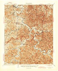
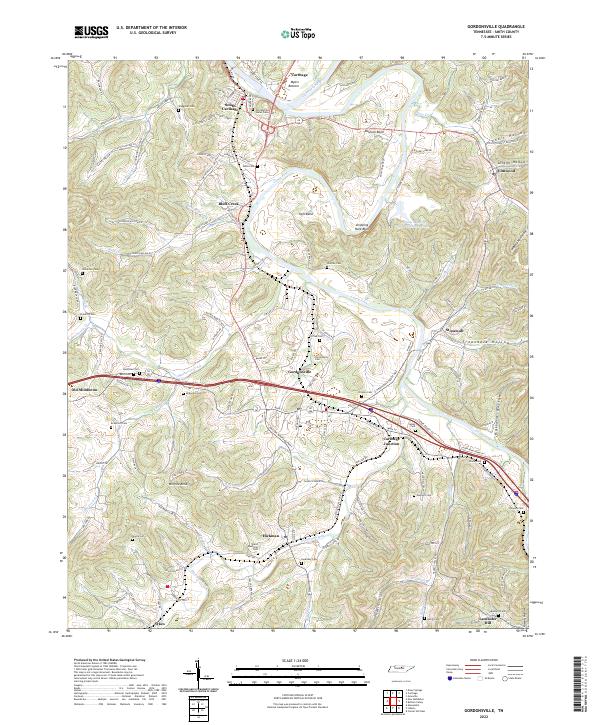
The Cumberland River and its winding tributary, the Caney Fork, define the landscape of Smith County in this detailed contemporary record. The terrain is marked by sharp topographic shifts, from the lowlands of Myers Bottom to the prominent heights of Winfree Knob. Industrial legacy is visible at the Jersey Miniery Zinc Company Lake, which sits near the dramatic Dripping Rock Bluff and the sharp oxbow of Hell-Bend. The settlement pattern follows the river valleys and hollows, with the concentrated centers of Gordonsville, South Carthage, and Hickman serving as anchors for the surrounding rural communities.
Find a feature on this map
149 named features on this map. Tap any name to fly to it.
Don’t see what you’re looking for? This feature index may not catch every label — zoom into the map to look around manually.
Map Details
Editions of this 2022 Gordonsville Map
This is the sole edition of this map. No revisions or reprints were ever made.
Historical Maps of Old Middleton Through Time
3 maps found