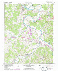
1962 Map of Gordonsville
USGS Topo · Published 1986About this map
The Cumberland River Old Hickory Lake and the winding Caney Fork dominate this Smith County landscape, where river bends like Hell Bend and Boulton Bend define the topography. In the early 1960s, the area maintained a network of small agricultural settlements and family-named landmarks, such as Elmwood, Hickman, and Old Middleton. The map captures a transitional era for local infrastructure, documenting the newly constructed Interchange 258 and the operations of the Seaboard System railroad near Carthage Junction.
Find a feature on this map
67 named features on this map. Tap any name to fly to it.
Don’t see what you’re looking for? This feature index may not catch every label — zoom into the map to look around manually.
Map Details
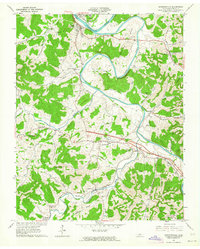
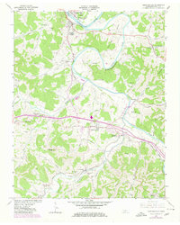
Editions of this 1962 Gordonsville Map
3 editions found
Other maps of this area

1928 · Gordonsville
USGS Topo · 1:62,500

1932 · Carthage
USGS Topo · 1:62,500

1942 · Statesville
USGS Topo · 1:100,000

1956 · Corbin
USGS Topo · 1:250,000

1956 · Nashville
USGS Topo · 1:250,000

1958 · New Middleton
USGS Topo · 1:24,000

1958 · Corbin
USGS Topo · 1:250,000

1958 · Dixon Springs
USGS Topo · 1:24,000
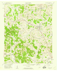
1958 · Alexandria
USGS Topo · 1:24,000

1959 · Nashville
USGS Topo · 1:250,000