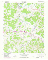
1962 Map of Gordonsville
USGS Topo · Published 1980About this map
Carthage and South Carthage anchor the northern reaches of this Smith County landscape, where the Cumberland River takes a sharp southern turn at Hell Bend. This riverine environment, complemented by the winding Caney Fork, dictated the early layout of regional transport, visible in the path of Ferry Road and the established crossings near Carthage Junction. To the south, the village of Gordonsville serves as a central hub, linked to neighboring Hickman and Lancaster by the prominent Louisville and Nashville railroad line.
Find a feature on this map
74 named features on this map. Tap any name to fly to it.
Don’t see what you’re looking for? This feature index may not catch every label — zoom into the map to look around manually.
Map Details
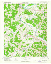
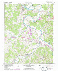
Editions of this 1962 Gordonsville Map
3 editions found
Other maps of this area

1928 · Gordonsville
USGS Topo · 1:62,500

1932 · Carthage
USGS Topo · 1:62,500

1942 · Statesville
USGS Topo · 1:100,000

1956 · Corbin
USGS Topo · 1:250,000

1956 · Nashville
USGS Topo · 1:250,000

1958 · New Middleton
USGS Topo · 1:24,000

1958 · Corbin
USGS Topo · 1:250,000

1958 · Dixon Springs
USGS Topo · 1:24,000
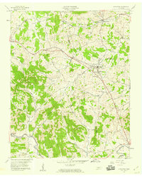
1958 · Alexandria
USGS Topo · 1:24,000

1959 · Nashville
USGS Topo · 1:250,000