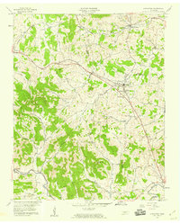
1958 Map of Alexandria
USGS Topo · Published 1959About this map
The boundary between Wilson, Smith, and DeKalb counties meets in a landscape of winding creek bottoms and prominent knobs. Alexandria serves as a central hub, where the Tennessee Central railroad and Central Pike converge. To the west, Watertown is established along the rail line, while Liberty and Statesville anchor the southern reaches of the map. The terrain is deeply etched by watercourses like Smith Fork and Hickman Creek, which have dictated the placement of early homesteads and cemeteries.
Find a feature on this map
39 named features on this map. Tap any name to fly to it.
Don’t see what you’re looking for? This feature index may not catch every label — zoom into the map to look around manually.
Map Details
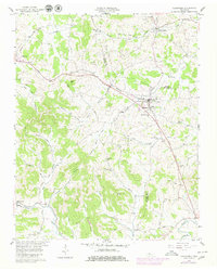
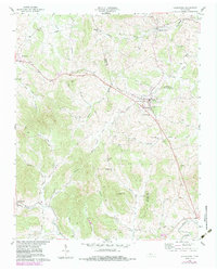
Editions of this 1958 Alexandria Map
3 editions found
Other maps of this area

1893 · Mc Minnville
USGS Topo · 1:125,000

1895 · Mc Minnville
USGS Topo · 1:125,000

1908 · Woodbury
USGS Topo · 1:62,500

1928 · Gordonsville
USGS Topo · 1:62,500

1942 · Statesville
USGS Topo · 1:100,000

1953 · Chattanooga
USGS Topo · 1:250,000

1956 · Columbia
USGS Topo · 1:250,000

1956 · Corbin
USGS Topo · 1:250,000

1956 · Nashville
USGS Topo · 1:250,000

1957 · Chattanooga
USGS Topo · 1:250,000