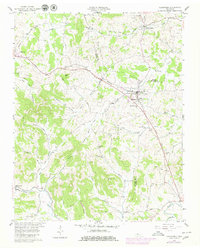
1958 Map of Alexandria
USGS Topo · Published 1980About this map
Alexandria and Watertown anchor this mid-century topographic survey of the Tennessee landscape where Wilson, Smith, and DeKalb counties converge. The local economy and travel patterns are defined by the Louisville and Nashville railroad corridor in the north and the Sparta Pike cutting through the center. Small rural communities like Liberty Hill and Statesville are captured in detail, showing a network of country churches and family cemeteries that speak to the area's deep-rooted genealogy.
Find a feature on this map
48 named features on this map. Tap any name to fly to it.
Don’t see what you’re looking for? This feature index may not catch every label — zoom into the map to look around manually.
Map Details
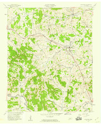
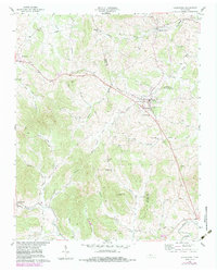
Editions of this 1958 Alexandria Map
3 editions found
Other maps of this area

1893 · Mc Minnville
USGS Topo · 1:125,000

1895 · Mc Minnville
USGS Topo · 1:125,000

1908 · Woodbury
USGS Topo · 1:62,500

1928 · Gordonsville
USGS Topo · 1:62,500

1942 · Statesville
USGS Topo · 1:100,000

1953 · Chattanooga
USGS Topo · 1:250,000

1956 · Columbia
USGS Topo · 1:250,000

1956 · Corbin
USGS Topo · 1:250,000

1956 · Nashville
USGS Topo · 1:250,000

1957 · Chattanooga
USGS Topo · 1:250,000