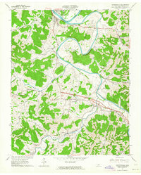
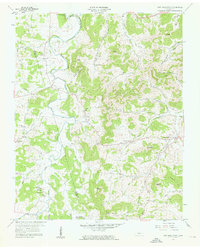
1962 Map of Gordonsville
USGS Topo · Published 1964About this map
The Cumberland River and the winding Caney Fork define the landscape of Smith County in the early 1960s. This survey records a transition from river-dependent hamlets to a rail-and-road economy, centered on the bustling hub of Gordonsville. The Tennessee Central railroad tracks cut through the southern half of the sheet, serving points like Hickman and Carthage Junction, where the line meets the road network near the river’s edge. Deep river loops at Hell Bend and Boulton Bend illustrate the dramatic topography that hemmed in older settlements like Old Middleton and New Middleton. For local history and genealogy, the map provides an exceptionally high density of family-named landmarks and cemeteries, from the Hogan Creek Cem in the north to the Baird Memorial Cem and Gwaltney Cem further south. Rural life is further mapped through landmarks such as Turner High Sch and the Cedar Point Ch.
Find a feature on this map
73 named features on this map. Tap any name to fly to it.
Don’t see what you’re looking for? This feature index may not catch every label — zoom into the map to look around manually.
Map Details
Editions of this 1962 Gordonsville Map
3 editions found

Other maps of this area
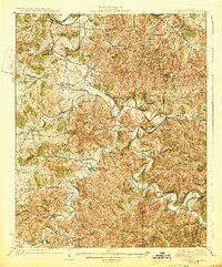
1928 · Gordonsville
USGS Topo · 1:62,500
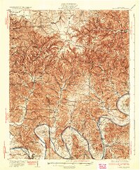
1932 · Carthage
USGS Topo · 1:62,500

1942 · Statesville
USGS Topo · 1:100,000

1956 · Corbin
USGS Topo · 1:250,000

1956 · Nashville
USGS Topo · 1:250,000
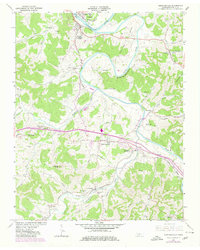
1958 · New Middleton
USGS Topo · 1:24,000

1958 · Corbin
USGS Topo · 1:250,000
1958 · Dixon Springs
USGS Topo · 1:24,000
1958 · Alexandria
USGS Topo · 1:24,000

1959 · Nashville
USGS Topo · 1:250,000