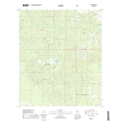
2020 Map of Gorum
USGS Topo · Published 2020About this map
Kisatchie National Forest dominates this Central Louisiana landscape, where the settlements of Gorum and Sampusand are anchored by family and community history. The terrain is defined by a series of ridges and named elevations including Chopin Camp Ridge, Negro Foot Hill, and Sunk Hill. A complex network of watercourses, such as Bayou Pierre, Little Bayou Pierre, and Bayou Cypre, threads through the timberlands, influencing the placement of local routes like Mora-Gorum Rd and Emmanuel Rd. Genealogists will find significant local value in the mapped locations of Gorum Cem, Botton Cem, and Emanuel Cem. The presence of the Longleaf Vista Trail and Turpentine Hill Trail reflects the area's legacy of forestry and outdoor recreation within the pine-covered hills of Natchitoches Parish and Rapides Parish.
Find a feature on this map
70 named features on this map. Tap any name to fly to it.
Don’t see what you’re looking for? This feature index may not catch every label — zoom into the map to look around manually.
Map Details
Editions of this 2020 Gorum Map
This is the sole edition of this map. No revisions or reprints were ever made.
Other maps of this area

1937 · Chopin NE
USGS Topo · 1:31,680

1937 · Chopin SW
USGS Topo · 1:31,680

1937 · Chopin NW
USGS Topo · 1:31,680

1937 · Aloha
USGS Topo · 1:31,680

1937 · Montgomery
USGS Topo · 1:62,500

1937 · Chopin SE
USGS Topo · 1:31,680

1937 · Cloutierville
USGS Topo · 1:31,680

1937 · Cypress
USGS Topo · 1:31,680

1942 · Kisatchie
USGS Topo · 1:62,500

1942 · Montgomery
USGS Topo · 1:62,500