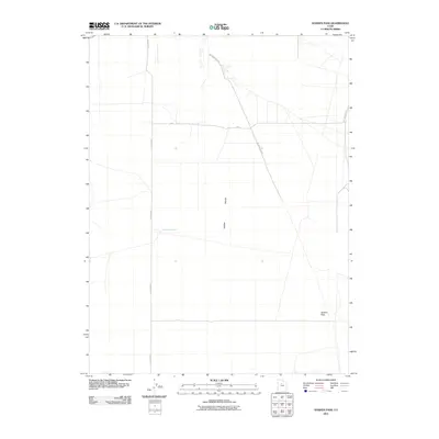
2011 Map of Goshen Pass
USGS Topo · Published 2011About this map
Cedar Valley defines the core of this landscape, showing a structured grid of local roads and water infrastructure in the early 21st century. The map centers on the open terrain west of the Lake Mountains, where the desert valley is navigated by long straightaways like N 18150 West and 800 S. The most significant geographical landmark is Goshen Pass in the southeast, a natural break in the rising ground that has historically served as a corridor through the region. This 2011 survey captures the area during a period of expanding rural-suburban infrastructure, evidenced by named thoroughfares such as Soldiers Pass Rd and Lake Mountain Rd. The presence of Yellowbrush Well underscores the importance of water management in this arid Utah environment, providing a specific point of reference for those researching the historical land use and development patterns of the valley.
Find a feature on this map
7 named features on this map. Tap any name to fly to it.
Don’t see what you’re looking for? This feature index may not catch every label — zoom into the map to look around manually.
Map Details
Editions of this 2011 Goshen Pass Map
This is the sole edition of this map. No revisions or reprints were ever made.
Other maps of this area
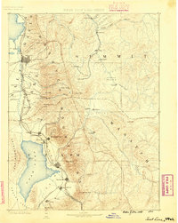
1885 · Salt Lake
USGS Topo · 1:250,000
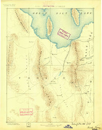
1885 · Tooele Valley
USGS Topo · 1:250,000
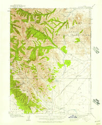
1915 · Fairfield
USGS Topo · 1:62,500
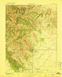
1917 · Fairfield
USGS Topo · 1:62,500
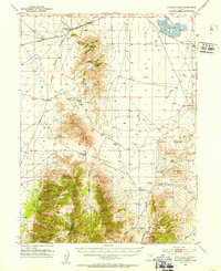
1947 · Fivemile Pass
USGS Topo · 1:62,500
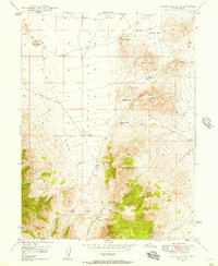
1947 · Allens Ranch
USGS Topo · 1:24,000
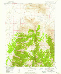
1947 · Boulter Peak
USGS Topo · 1:24,000
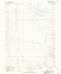
1947 · Goshen Pass
USGS Topo · 1:24,000
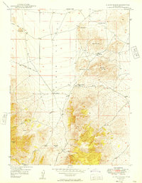
1949 · Allens Ranch
USGS Topo · 1:24,000
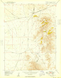
1949 · Fivemile Pass
USGS Topo · 1:24,000