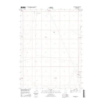
2014 Map of Goshen Pass
USGS Topo · Published 2014About this map
West Desert Airpark sits at the northern reaches of this section of the Cedar Valley, a region defined by its wide basins and the surrounding topographic transitions. The landscape is structured by a precise grid of township and range lines, reflecting the organized land management of Utah County during the early twenty-first century. To the southeast, the terrain begins to climb toward Goshen Pass, a geographical feature that serves as a natural gateway through the rising elevations. Local transit and access are facilitated by routes such as Lake Mountain Rd and Coyote Pass Rd, which skirt the edges of the valley floor. This survey provides a clear look at the intersection of private aviation and rural land use in the high desert environment shortly before significant suburban expansion began to reshape the broader region.
Find a feature on this map
14 named features on this map. Tap any name to fly to it.
Don’t see what you’re looking for? This feature index may not catch every label — zoom into the map to look around manually.
Map Details
Editions of this 2014 Goshen Pass Map
This is the sole edition of this map. No revisions or reprints were ever made.
Other maps of this area
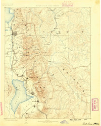
1885 · Salt Lake
USGS Topo · 1:250,000
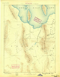
1885 · Tooele Valley
USGS Topo · 1:250,000
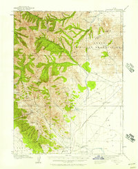
1915 · Fairfield
USGS Topo · 1:62,500
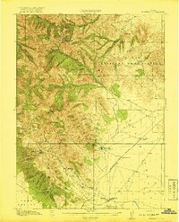
1917 · Fairfield
USGS Topo · 1:62,500
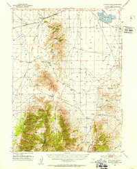
1947 · Fivemile Pass
USGS Topo · 1:62,500
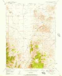
1947 · Allens Ranch
USGS Topo · 1:24,000
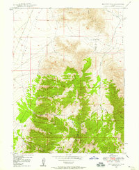
1947 · Boulter Peak
USGS Topo · 1:24,000
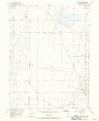
1947 · Goshen Pass
USGS Topo · 1:24,000
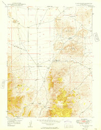
1949 · Allens Ranch
USGS Topo · 1:24,000
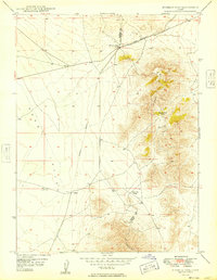
1949 · Fivemile Pass
USGS Topo · 1:24,000