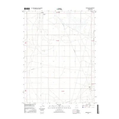
2017 Map of Goshen Pass
USGS Topo · Published 2017About this map
Cedar Valley dominates this 2017 survey, showcasing a landscape defined by the transition between low-lying basins and mountain gaps in Utah County. The settlement of Fairfield sits in the northern reaches of the sheet, serving as a focal point for the region's historical and contemporary road network. Near the town, the West Desert Airpark highlights the area's modern infrastructure within a predominantly rural and open terrain.
Find a feature on this map
15 named features on this map. Tap any name to fly to it.
Don’t see what you’re looking for? This feature index may not catch every label — zoom into the map to look around manually.
Map Details
Editions of this 2017 Goshen Pass Map
This is the sole edition of this map. No revisions or reprints were ever made.
Other maps of this area
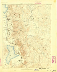
1885 · Salt Lake
USGS Topo · 1:250,000
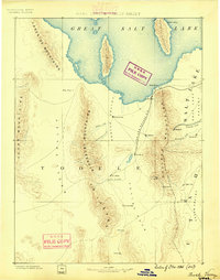
1885 · Tooele Valley
USGS Topo · 1:250,000
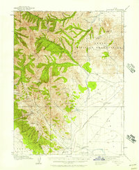
1915 · Fairfield
USGS Topo · 1:62,500
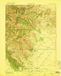
1917 · Fairfield
USGS Topo · 1:62,500
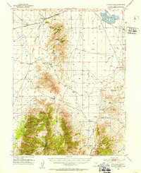
1947 · Fivemile Pass
USGS Topo · 1:62,500
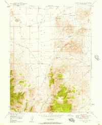
1947 · Allens Ranch
USGS Topo · 1:24,000
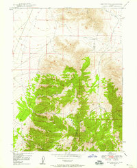
1947 · Boulter Peak
USGS Topo · 1:24,000
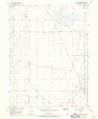
1947 · Goshen Pass
USGS Topo · 1:24,000
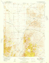
1949 · Allens Ranch
USGS Topo · 1:24,000
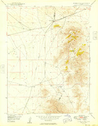
1949 · Fivemile Pass
USGS Topo · 1:24,000