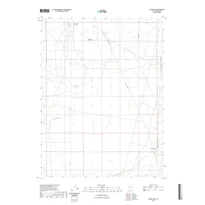
2023 Map of Goshen Pass
USGS Topo · Published 2023About this map
Fairfield stands at the northern edge of this Utah County landscape, where the open expanse of Cedar Valley meets the rising terrain of the Lake Mountains. This modern topographic survey illustrates the enduring rural layout of the region, marked by the intersection of local routes like W Ten Mile Pass Rd and Soldiers Pass Rd. A notable modern addition to the high desert valley is the West Desert Airpark, situated just northwest of the settlement area. To the southeast, the terrain narrows into the strategic gap of Goshen Pass, a name that points to the area's history as a transit corridor between the valleys. The map provides clear detail for researchers tracking the development of these arid foothills, showing how modern transportation infrastructure follows the natural contours of the basin-and-range topography.
Find a feature on this map
8 named features on this map. Tap any name to fly to it.
Don’t see what you’re looking for? This feature index may not catch every label — zoom into the map to look around manually.
Map Details
Editions of this 2023 Goshen Pass Map
This is the sole edition of this map. No revisions or reprints were ever made.
Other maps of this area

1885 · Salt Lake
USGS Topo · 1:250,000

1885 · Tooele Valley
USGS Topo · 1:250,000

1915 · Fairfield
USGS Topo · 1:62,500

1917 · Fairfield
USGS Topo · 1:62,500

1947 · Fivemile Pass
USGS Topo · 1:62,500

1947 · Allens Ranch
USGS Topo · 1:24,000

1947 · Boulter Peak
USGS Topo · 1:24,000

1947 · Goshen Pass
USGS Topo · 1:24,000

1949 · Allens Ranch
USGS Topo · 1:24,000

1949 · Fivemile Pass
USGS Topo · 1:24,000