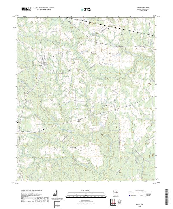
2024 Map of Gough
USGS Topo · Published 2024About this map
Burke County’s agricultural landscape is defined here by a network of family-named road systems and small rural settlements. The town of Gough serves as a central hub, while the smaller community of Vidette sits along the southwestern edge, connected by a transit corridor that follows Railroad Ave. This 2024 survey captures a deeply settled territory where genealogy is written into the land through numerous burial grounds, including the Smith Family Cem, Gough Family Cem, and the uniquely named Joan Society Cem.
Find a feature on this map
70 named features on this map. Tap any name to fly to it.
Don’t see what you’re looking for? This feature index may not catch every label — zoom into the map to look around manually.
Map Details
Editions of this 2024 Gough Map
This is the sole edition of this map. No revisions or reprints were ever made.
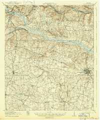
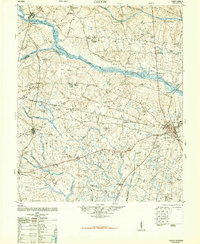
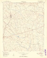
Historical Maps of Vidette Through Time
4 maps found