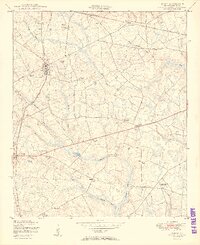
1950 Map of Gough
USGS Topo · Published 1950About this map
Agricultural life in central Georgia is defined by a dense network of family landmarks and rural institutions scattered across the landscape. The settlement of Gough serves as a local hub, situated where the Georgia and Florida railroad line passes near the Gough Family Cemetery. To the west, Vidette marks another concentration of activity, while the small community of Drone sits further east, anchored by the L D Hill School.
Find a feature on this map
39 named features on this map. Tap any name to fly to it.
Don’t see what you’re looking for? This feature index may not catch every label — zoom into the map to look around manually.
Map Details
Editions of this 1950 Gough Map
3 editions found
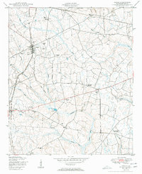
Other maps of this area

1919 · Gough
USGS Topo · 1:62,500

1920 · Stapleton
USGS Topo · 1:62,500

1948 · Stapleton
USGS Topo · 1:62,500

1948 · Gough
USGS Topo · 1:62,500
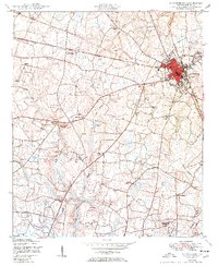
1950 · Waynesboro
USGS Topo · 1:24,000
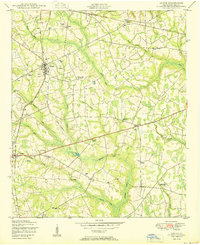
1950 · Gough
USGS Topo · 1:24,000
1950 · Storys Millpond
USGS Topo · 1:24,000
1950 · Keysville
USGS Topo · 1:24,000

1950 · Matthews
USGS Topo · 1:24,000

1950 · Kellys Pond
USGS Topo · 1:24,000