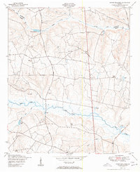
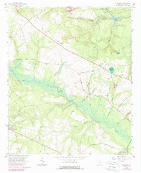
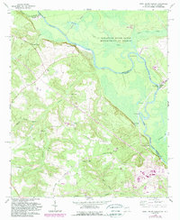
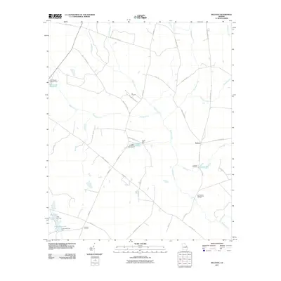
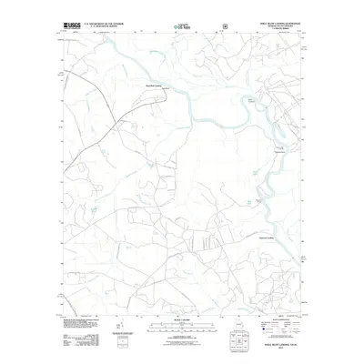
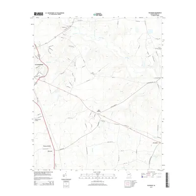
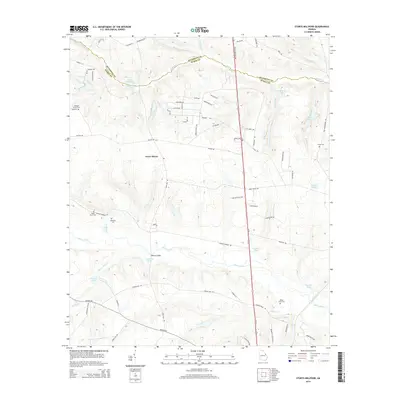
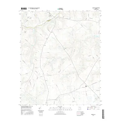
1950 Map of Storys Millpond
USGS Topo · Published 1950About this map
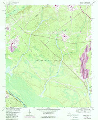
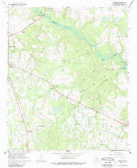
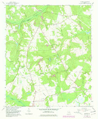
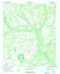
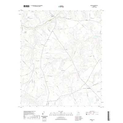
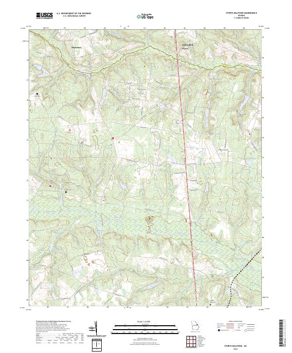
Storys Millpond and the expansive course of Brier Creek define the agrarian landscape of eastern Georgia at the mid-century mark. The area is heavily marked by a network of rural institutions, particularly small schools and churches that served the scattered farming communities. Significant landmarks such as Winters School and Hammond Academy appear alongside numerous congregations including St Antioch Church and Green Branch Church. The map reflects a water-dependent geography where local drainage features like Mc Bean Creek and Beaver Dam Creek are punctuated by several smaller impoundments, such as Goldberg Pond and Palmers Pond. The southern half of the quadrangle shows the winding, swampy lowlands of Brier Creek, while the north is characterized by open areas like Yawn Field and ancestral sites such as Gresham Cemetery.
Find a feature on this map
30 named features on this map. Tap any name to fly to it.
Don’t see what you’re looking for? This feature index may not catch every label — zoom into the map to look around manually.
Map Details
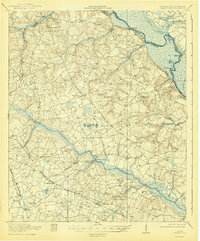
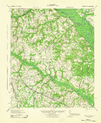
Editions of this 1950 Storys Millpond Map
2 editions found
Historical Maps of Augusta Through Time
45 maps found
1920 Greens Cut
Burke County, GA
1943 Greens Cut
Burke County, GA
1950 Storys Millpond
Burke County, GA
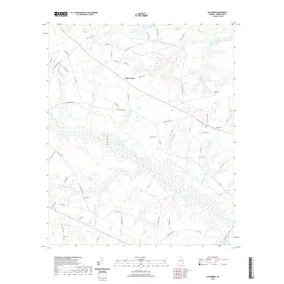
1964 Alexander
Burke County, GA
1964 Girard NW
Burke County, GA
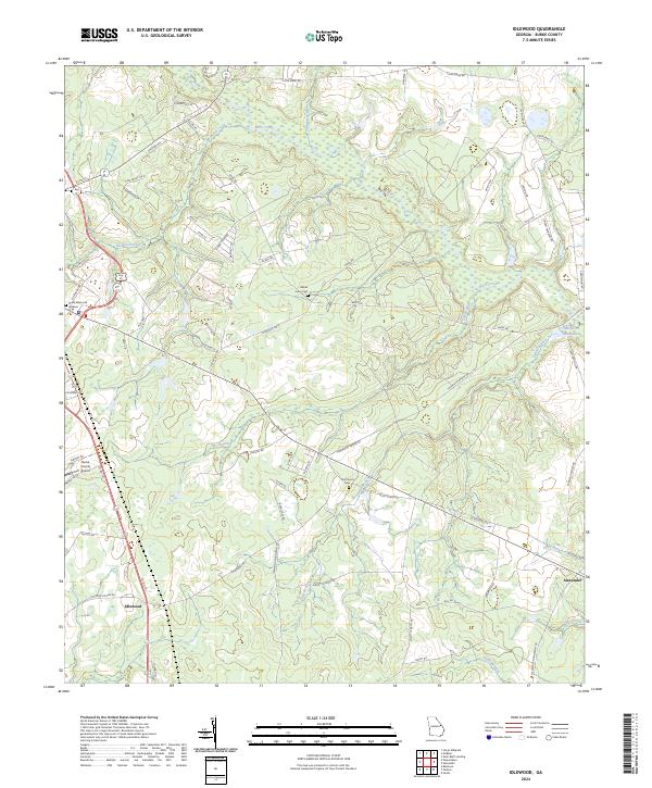
1964 Idlewood
Burke County, GA
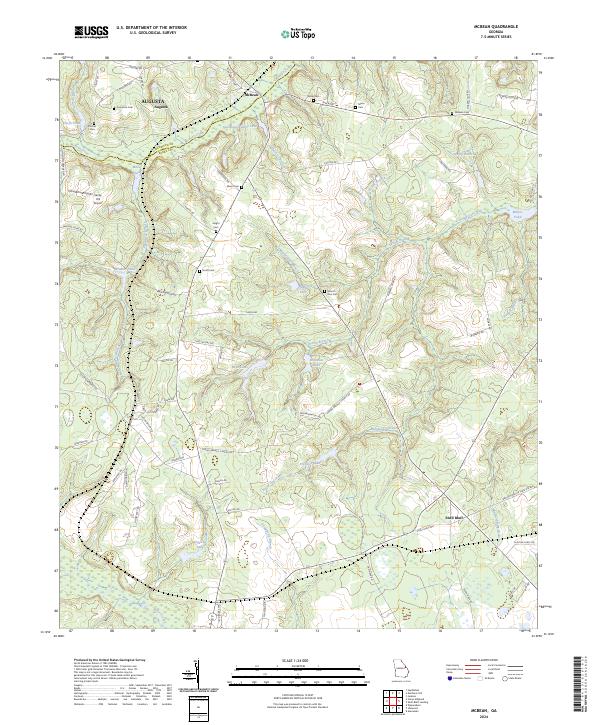
1964 Mc Bean
Burke County, GA
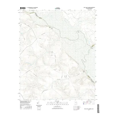
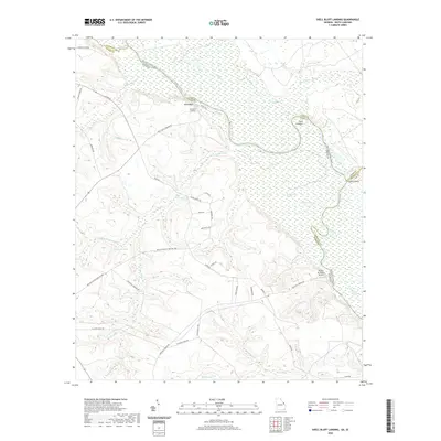
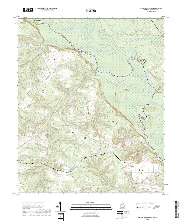
1965 Shell Bluff Landing
Burke County, GA
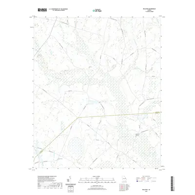
1974 Bellevue
Burke County, GA
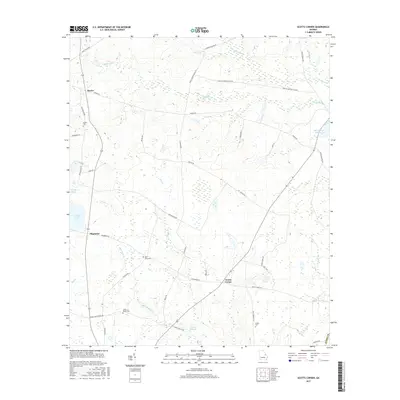
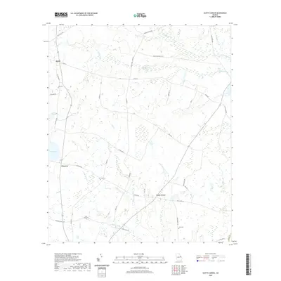
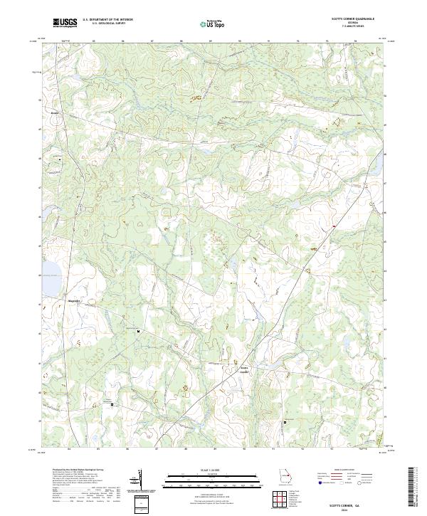
1974 Scotts Corner
Burke County, GA
2011 Alexander
Burke County, GA
2011 Bellevue
Burke County, GA
2011 Idlewood
Burke County, GA
2011 McBean
Burke County, GA
2011 Scotts Corner
Burke County, GA
2011 Shell Bluff Landing
Burke County, GA
2011 Storys Millpond
Burke County, GA
2014 Alexander
Burke County, GA
2014 Bellevue
Burke County, GA
2014 Idlewood
Burke County, GA
2014 McBean
Burke County, GA
2014 Scotts Corner
Burke County, GA
2014 Shell Bluff Landing
Burke County, GA
2014 Storys Millpond
Burke County, GA
2017 Alexander
Burke County, GA
2017 Bellevue
Burke County, GA
2017 Idlewood
Burke County, GA
2017 McBean
Burke County, GA
2017 Scotts Corner
Burke County, GA
2017 Shell Bluff Landing
Burke County, GA
2017 Storys Millpond
Burke County, GA
2020 Alexander
Burke County, GA
2020 Bellevue
Burke County, GA
2020 Idlewood
Burke County, GA
2020 McBean
Burke County, GA
2020 Scotts Corner
Burke County, GA
2020 Shell Bluff Landing
Burke County, GA

2020 Storys Millpond
Burke County, GA
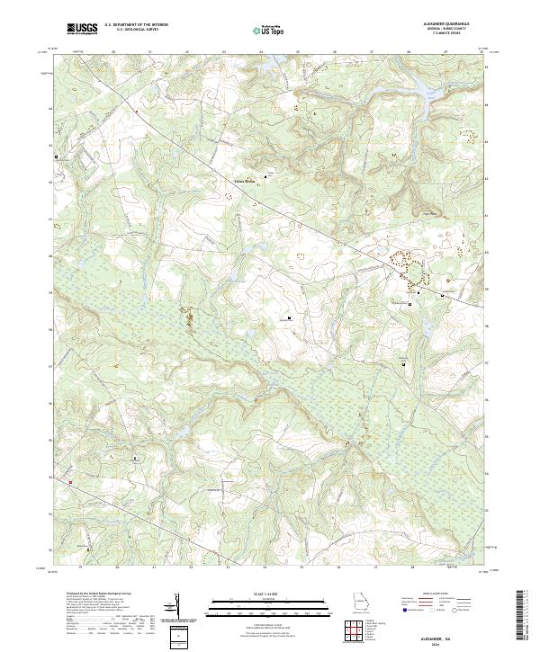
2024 Alexander
Burke County, GA
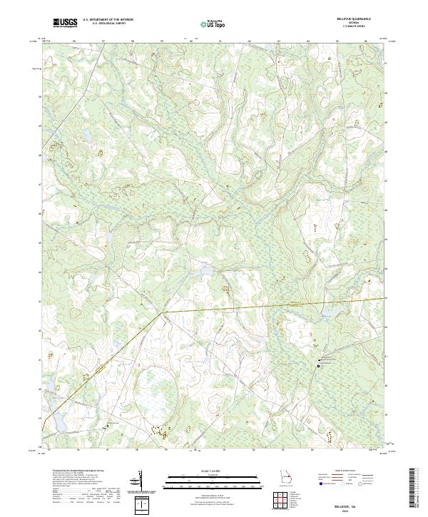
2024 Bellevue
Burke County, GA
2024 Idlewood
Burke County, GA
2024 McBean
Burke County, GA
2024 Scotts Corner
Burke County, GA
2024 Shell Bluff Landing
Burke County, GA
2024 Storys Millpond
Burke County, GA