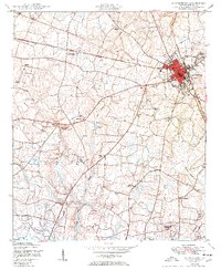
1950 Map of Waynesboro
USGS Topo · Published 1950About this map
Waynesboro serves as the focal point of this 1950s Georgia survey, showing a well-developed grid at the intersection of regional roads and the Savannah and Atlanta railroad. The surrounding Burke County countryside is defined by a dense network of combined social centers, where churches and schools shared the same grounds. These multi-purpose sites, such as Beechwood Church and School and Phillip Grove Church and School, highlight a rural settlement pattern where faith and education were physically intertwined. The landscape is carved by numerous watercourses, including Walnut Branch and Harp Branch, which fed into local features like Thompsons Pond. For genealogists, the map is particularly rich, identifying family-specific locations like the Gray Family Cemetery and the Applewhite Cemetery, alongside widely dispersed landmarks like a lone Windmill or the municipal Swimming pool.
Find a feature on this map
29 named features on this map. Tap any name to fly to it.
Don’t see what you’re looking for? This feature index may not catch every label — zoom into the map to look around manually.
Map Details
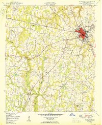
Editions of this 1950 Waynesboro Map
2 editions found
Other maps of this area

1919 · Gough
USGS Topo · 1:62,500

1920 · Millen
USGS Topo · 1:62,500

1920 · Greens Cut
USGS Topo · 1:62,500

1943 · Greens Cut
USGS Topo · 1:62,500

1943 · Millen
USGS Topo · 1:62,500

1943 · Augusta East
USGS Topo · 1:125,000

1943 · Millen
USGS Topo · 1:125,000

1947 · Savannah
USGS Topo · 1:250,000

1948 · Savannah
USGS Topo · 1:250,000

1948 · Gough
USGS Topo · 1:62,500