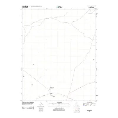
2011 Map of Goulding
USGS Topo · Published 2011About this map
Goulding Trading Post serves as a central hub in this high desert landscape, located near the southern boundary where the red rock terrain meets the sky. The settlement at Goulding is positioned near significant geological features such as Rock Door Mesa and a natural passage known as The Gap. This 2011 survey reveals a landscape shaped by both natural erosion and human enterprise, from the deep cuts of Monument Wash to the industrial imprint of Skyline Mine.
Find a feature on this map
15 named features on this map. Tap any name to fly to it.
Don’t see what you’re looking for? This feature index may not catch every label — zoom into the map to look around manually.
Map Details
Editions of this 2011 Goulding Map
This is the sole edition of this map. No revisions or reprints were ever made.
Other maps of this area

1883 · Marsh Pass
USGS Topo · 1:250,000

1886 · Henry Mountains
USGS Topo · 1:250,000

1892 · Marsh Pass
USGS Topo · 1:250,000

1892 · Henry Mountains
USGS Topo · 1:250,000

1952 · Clay Hills 4 SW
USGS Topo · 1:24,000

1952 · Clay Hills 3 SE
USGS Topo · 1:24,000

1952 · Agathla Peak 1 NW
USGS Topo · 1:24,000

1952 · Boot Mesa
USGS Topo · 1:62,500

1952 · Clay Hills 4 SE
USGS Topo · 1:24,000

1952 · Agathla Peak 1 NE
USGS Topo · 1:24,000