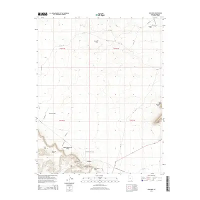
2014 Map of Goulding
USGS Topo · Published 2014About this map
Goulding sits at the base of dramatic high-desert plateaus in San Juan County, Utah, serving as a focal point for the Oljato-Monument Valley region. This landscape is defined by its massive erosional features, from the broad expanse of Douglas Mesa and Coyote Mesa to the sharp profiles of Eagle Rock and Eagle Mesa. The area is interlaced with deep drainage systems like Horse Trail Canyon and Horse Pasture Canyon, which feed into the Monument Wash.
Find a feature on this map
37 named features on this map. Tap any name to fly to it.
Don’t see what you’re looking for? This feature index may not catch every label — zoom into the map to look around manually.
Map Details
Editions of this 2014 Goulding Map
This is the sole edition of this map. No revisions or reprints were ever made.
Other maps of this area

1883 · Marsh Pass
USGS Topo · 1:250,000

1886 · Henry Mountains
USGS Topo · 1:250,000

1892 · Marsh Pass
USGS Topo · 1:250,000

1892 · Henry Mountains
USGS Topo · 1:250,000

1952 · Clay Hills 4 SW
USGS Topo · 1:24,000

1952 · Clay Hills 3 SE
USGS Topo · 1:24,000

1952 · Agathla Peak 1 NW
USGS Topo · 1:24,000

1952 · Boot Mesa
USGS Topo · 1:62,500

1952 · Clay Hills 4 SE
USGS Topo · 1:24,000

1952 · Agathla Peak 1 NE
USGS Topo · 1:24,000