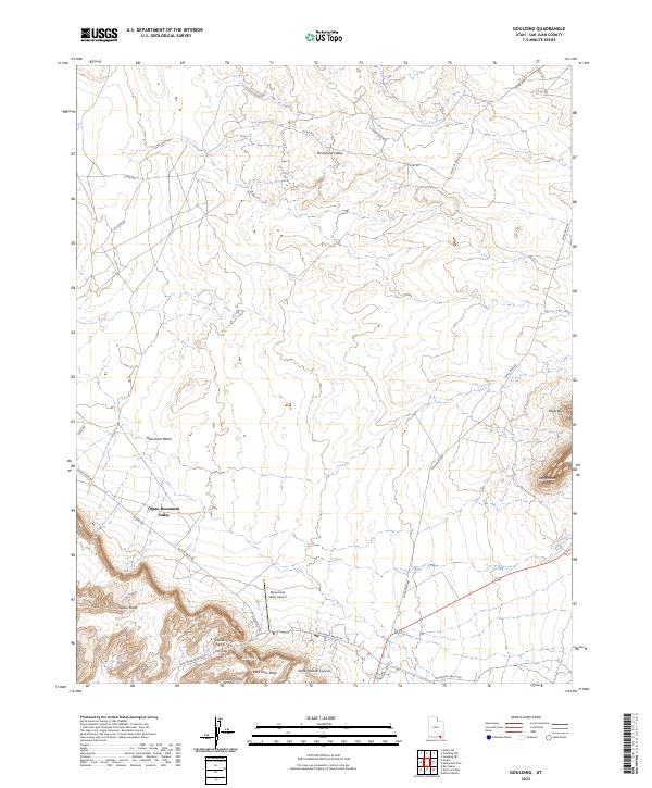
2023 Map of Goulding
USGS Topo · Published 2023About this map
Oljato-Monument Valley serves as a primary hub within this high-desert landscape, where modern infrastructure meets a storied geologic setting. This 2023 survey delineates a sophisticated network of local roads such as Oljato Rd and Monument Valley Rd that navigate the corridors between massive landforms. The presence of the Monument Valley Airport and the Welcome Center indicates the area's role as a gateway for travelers, while natural landmarks like Goulding Arch and the narrow passage at the Gap reflect the enduring physical geography. The terrain is defined by elevated features including Oljato Mesa, Rock Door Mesa, and Eagle Mesa, separated by drainages like Monument Wash and Horse Pasture Canyon. These maps allow researchers to trace the alignment of contemporary routes against the unchanging mesas and ephemeral water sources like Cedar Spring.
Find a feature on this map
30 named features on this map. Tap any name to fly to it.
Don’t see what you’re looking for? This feature index may not catch every label — zoom into the map to look around manually.
Map Details
Editions of this 2023 Goulding Map
This is the sole edition of this map. No revisions or reprints were ever made.
Other maps of this area

1883 · Marsh Pass
USGS Topo · 1:250,000

1886 · Henry Mountains
USGS Topo · 1:250,000

1892 · Marsh Pass
USGS Topo · 1:250,000

1892 · Henry Mountains
USGS Topo · 1:250,000

1952 · Clay Hills 4 SW
USGS Topo · 1:24,000

1952 · Clay Hills 3 SE
USGS Topo · 1:24,000

1952 · Agathla Peak 1 NW
USGS Topo · 1:24,000

1952 · Boot Mesa
USGS Topo · 1:62,500

1952 · Clay Hills 4 SE
USGS Topo · 1:24,000

1952 · Agathla Peak 1 NE
USGS Topo · 1:24,000