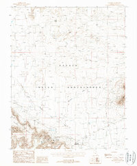
1988 Map of Goulding
USGS Topo · Published 1988About this map
Goulding serves as a focal point of settlement on the Navajo Indian Reservation during the late 1980s, situated at the base of the striking Rock Door Mesa. This topographic study reveals the infrastructure of a community centered around education and resource extraction, notably featuring the Monument Valley High School, an Athletic Field, and a Landing Strip for remote access. The proximity of the Skyline Mine to the settlement suggests the continued importance of the mining industry in this corner of San Juan County.
Find a feature on this map
22 named features on this map. Tap any name to fly to it.
Don’t see what you’re looking for? This feature index may not catch every label — zoom into the map to look around manually.
Map Details
Editions of this 1988 Goulding Map
This is the sole edition of this map. No revisions or reprints were ever made.
Other maps of this area

1883 · Marsh Pass
USGS Topo · 1:250,000

1886 · Henry Mountains
USGS Topo · 1:250,000

1892 · Marsh Pass
USGS Topo · 1:250,000

1892 · Henry Mountains
USGS Topo · 1:250,000

1952 · Clay Hills 4 SW
USGS Topo · 1:24,000

1952 · Clay Hills 3 SE
USGS Topo · 1:24,000

1952 · Agathla Peak 1 NW
USGS Topo · 1:24,000

1952 · Boot Mesa
USGS Topo · 1:62,500

1952 · Clay Hills 4 SE
USGS Topo · 1:24,000

1952 · Agathla Peak 1 NE
USGS Topo · 1:24,000