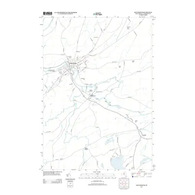
2013 Map of Gouverneur
USGS Topo · Published 2013About this map
The Oswegatchie River carves a winding path through this northern New York landscape, anchoring the village of Gouverneur. This 2013 survey illustrates the developed corridor between Hailesboro and the main village, featuring civic landmarks such as the Gouverneur Fair Grounds and the Riverside Cem. The map provides excellent detail for genealogists, with multiple burial sites including Saint James Cem and W Fowler Cem clearly marked across the township.
Find a feature on this map
101 named features on this map. Tap any name to fly to it.
Don’t see what you’re looking for? This feature index may not catch every label — zoom into the map to look around manually.
Map Details
Editions of this 2013 Gouverneur Map
This is the sole edition of this map. No revisions or reprints were ever made.
Other maps of this area

1911 · Antwerp
USGS Topo · 1:62,500

1912 · Hammond
USGS Topo · 1:62,500

1913 · Lake Bonaparte
USGS Topo · 1:62,500

1915 · Gouverneur
USGS Topo · 1:62,500

1916 · Lake Bonaparte
USGS Topo · 1:62,500

1937 · Gouverneur
USGS Topo · 1:62,500

1944 · Hammond
USGS Topo · 1:62,500

1948 · Ogdensburg
USGS Topo · 1:250,000

1949 · Hammond
USGS Topo · 1:62,500

1949 · Antwerp
USGS Topo · 1:62,500