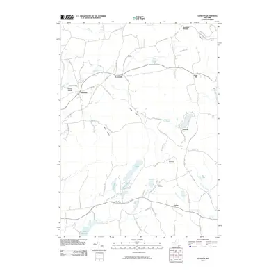
2010 Map of Grafton
USGS Topo · Published 2010About this map
Grafton and its surrounding hamlets occupy a high-relief landscape in Rensselaer County, defined by a network of lakes and narrow creek valleys. The settlement pattern follows the orientation of Sunkaissia Creek and the Quacken Kill, with historic clusters like Boyntonville and Potter Hill established along early transit corridors. Water management and recreation are central to the terrain, from the southern reach of the Dunham Reservoir to the clusters of seasonal and residential camps at Babcock Lake and Lake Lorraine. Local genealogy is anchored at the Warren Cemetery on the road north to Southwest Hoosick. The map illustrates a rural New York geography where name-bearing landscape features like Dickinson Hill and Couch Hollow separate small industrial and agricultural pockets such as Factory Hollow and Pittstown.
Find a feature on this map
80 named features on this map. Tap any name to fly to it.
Don’t see what you’re looking for? This feature index may not catch every label — zoom into the map to look around manually.
Map Details
Editions of this 2010 Grafton Map
This is the sole edition of this map. No revisions or reprints were ever made.
Other maps of this area

1888 · Berlin
USGS Topo · 1:62,500

1890 · Berlin
USGS Topo · 1:62,500

1893 · Cohoes
USGS Topo · 1:62,500

1893 · Troy
USGS Topo · 1:62,500

1894 · Berlin
USGS Topo · 1:62,500

1895 · Troy
USGS Topo · 1:62,500

1895 · Cohoes
USGS Topo · 1:62,500

1897 · Hoosick
USGS Topo · 1:62,500

1898 · Berlin
USGS Topo · 1:62,500

1898 · Cohoes
USGS Topo · 1:62,500