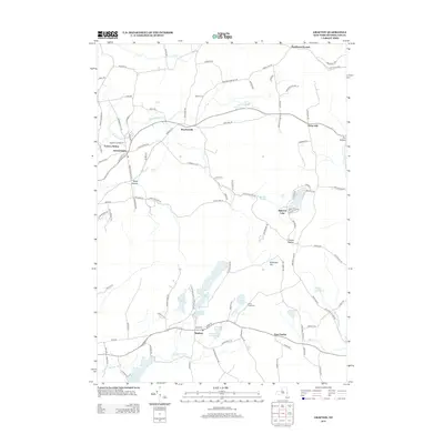
2013 Map of Grafton
USGS Topo · Published 2013About this map
The town of Grafton and the high plateaus of Rensselaer County are detailed in this survey, showcasing a landscape defined by its glacial lakes and narrow hollows. In the north, Boyntonville sits along the road to Potter Hill, while the Warren Cem provides a genealogical touchstone for the area near Southwest Hoosick. The water-rich terrain is highlighted by Babcock Lake, Long Pond, and Shaver Pond, which are central to the geography of Grafton Lakes State Park Way.
Find a feature on this map
111 named features on this map. Tap any name to fly to it.
Don’t see what you’re looking for? This feature index may not catch every label — zoom into the map to look around manually.
Map Details
Editions of this 2013 Grafton Map
This is the sole edition of this map. No revisions or reprints were ever made.
Other maps of this area

1888 · Berlin
USGS Topo · 1:62,500

1890 · Berlin
USGS Topo · 1:62,500

1893 · Cohoes
USGS Topo · 1:62,500

1893 · Troy
USGS Topo · 1:62,500

1894 · Berlin
USGS Topo · 1:62,500

1895 · Troy
USGS Topo · 1:62,500

1895 · Cohoes
USGS Topo · 1:62,500

1897 · Hoosick
USGS Topo · 1:62,500

1898 · Berlin
USGS Topo · 1:62,500

1898 · Cohoes
USGS Topo · 1:62,500