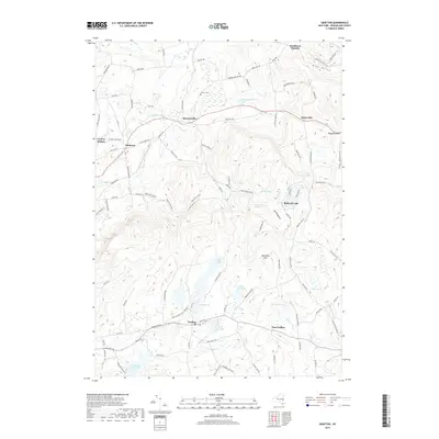
2019 Map of Grafton
USGS Topo · Published 2019About this map
Grafton Lakes State Park anchors this Rensselaer County landscape, where numerous water bodies like Long Pond, Lake Elizabeth, and Peckham Pond are interspersed among the rising terrain of the Taconic region. The settlement of Grafton sits at a central crossroads, while outlying hamlets such as Boyntonville, Potter Hill, and East Grafton mark the historic community hubs. Evidence of early land use and family history is found at Warren Cem near the northern border.
Find a feature on this map
105 named features on this map. Tap any name to fly to it.
Don’t see what you’re looking for? This feature index may not catch every label — zoom into the map to look around manually.
Map Details
Editions of this 2019 Grafton Map
This is the sole edition of this map. No revisions or reprints were ever made.
Other maps of this area

1888 · Berlin
USGS Topo · 1:62,500

1890 · Berlin
USGS Topo · 1:62,500

1893 · Cohoes
USGS Topo · 1:62,500

1893 · Troy
USGS Topo · 1:62,500

1894 · Berlin
USGS Topo · 1:62,500

1895 · Troy
USGS Topo · 1:62,500

1895 · Cohoes
USGS Topo · 1:62,500

1897 · Hoosick
USGS Topo · 1:62,500

1898 · Berlin
USGS Topo · 1:62,500

1898 · Cohoes
USGS Topo · 1:62,500