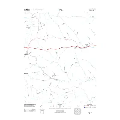
2013 Map of Grahn
USGS Topo · Published 2013About this map
Tygarts Creek winds through the northern reaches of this Carter County landscape, carving out dramatic geological formations like Tygart Canyon, Devils Backbone, and the striking Old Hanging Prison Wall Gardens. The map documents a rural corridor of Eastern Kentucky characterized by dispersed settlements such as Grahn, Aden, and Gregoryville. The historical footprint of the region is evident in the dense network of family-named hollows and cemeteries, including the Bailey Cem and Littleton Cem, which offer significant data for genealogical research.
Find a feature on this map
140 named features on this map. Tap any name to fly to it.
Don’t see what you’re looking for? This feature index may not catch every label — zoom into the map to look around manually.
Map Details
Editions of this 2013 Grahn Map
This is the sole edition of this map. No revisions or reprints were ever made.
Other maps of this area

1903 · Kenova
USGS Topo · 1:125,000

1904 · Kenova
USGS Topo · 1:125,000

1950 · Bruin
USGS Topo · 1:24,000

1950 · Grahn
USGS Topo · 1:24,000

1950 · Wesleyville
USGS Topo · 1:24,000

1950 · Olive Hill
USGS Topo · 1:24,000

1950 · Ault
USGS Topo · 1:24,000

1950 · Tygarts Valley
USGS Topo · 1:24,000

1953 · Grayson
USGS Topo · 1:24,000

1953 · Oldtown
USGS Topo · 1:24,000