
1953 Map of Oldtown
USGS Topo · Published 1954About this map
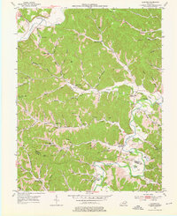
The Little Sandy River and Tygarts Creek define this rural landscape in northeastern Kentucky during the early 1950s. The settlement at Oldtown serves as a focal point near the river's bend, while the community of Warnock occupies the northwestern corner along the creek. The map captures a transition in local industry, shown by the scattering of Oil Wells and a Gas Well in the valleys, particularly around Jacks Branch and the Lower Hog Branch.
Find a feature on this map
94 named features on this map. Tap any name to fly to it.
Don’t see what you’re looking for? This feature index may not catch every label — zoom into the map to look around manually.
Map Details
Editions of this 1953 Oldtown Map
3 editions found
Other maps of this area

1903 · Kenova
USGS Topo · 1:125,000

1904 · Kenova
USGS Topo · 1:125,000

1915 · Garrison
USGS Topo · 1:62,500

1918 · Garrison
USGS Topo · 1:62,500

1926 · Greenup
USGS Topo · 1:48,000

1930 · Greenup
USGS Topo · 1:62,500

1949 · Brushart
USGS Topo · 1:24,000

1950 · Brushart
USGS Topo · 1:24,000

1950 · Grahn
USGS Topo · 1:24,000

1950 · Tygarts Valley
USGS Topo · 1:24,000