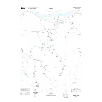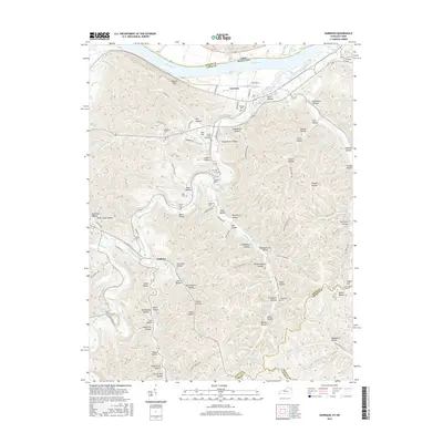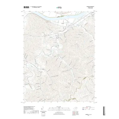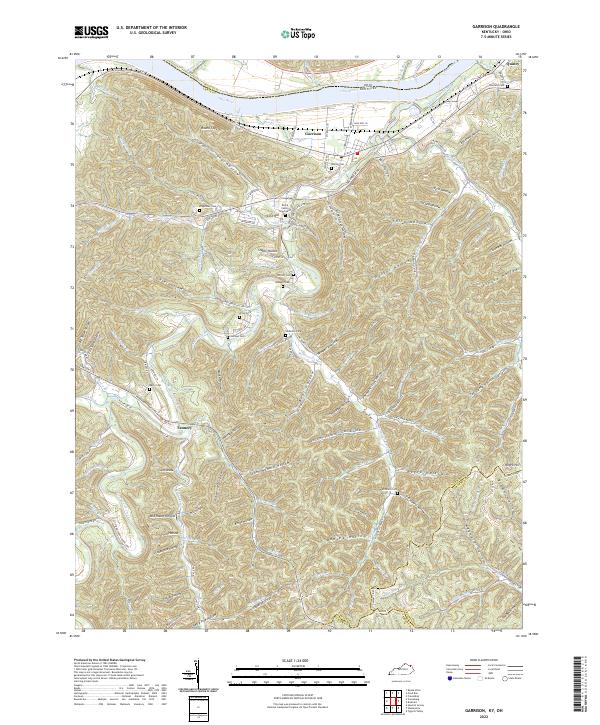
1918 Map of Garrison
USGS Topo · Published 1932About this map
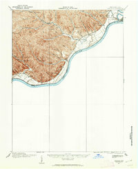
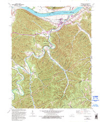
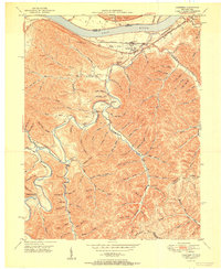
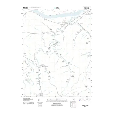
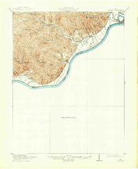
The Ohio River curves sharply through this region during the years before modern channelization, serving as the primary boundary between Nile and Washington townships and their southern neighbors across the water. Life in this river valley during the 1910s is anchored by a network of one-room schoolhouses, including Coriell School, Leatherwood School, and Elmtree School, which served families tucked into the numerous runs and hollows. The confluence of the Scioto River near Portsmouth marks the northeastern edge of this survey, where the Scioto County Infirmary stood as a prominent local landmark.
Find a feature on this map
52 named features on this map. Tap any name to fly to it.
Don’t see what you’re looking for? This feature index may not catch every label — zoom into the map to look around manually.
Map Details
Editions of this 1918 Garrison Map
This is the sole edition of this map. No revisions or reprints were ever made.
Historical Maps of Portsmouth Through Time
9 maps found