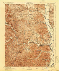
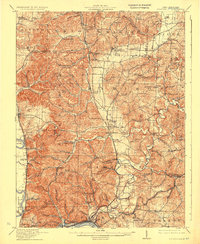
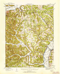
1917 Map of Otway
USGS Topo · Published 1941About this map
The Norfolk and Western RR tracks the winding course of Brush Creek as it carves through the deeply dissected uplands of southern Ohio. This 1915 survey reveals a landscape defined by isolated ridge-top schools and creek-bottom settlements, showing the dispersed nature of rural life in Scioto and Pike Counties. Named ridges like McChesney Ridge and peaks such as Buck Knob rise above a dense network of hollows, including Lick Hollow and Ganderhook Hollow.
Find a feature on this map
104 named features on this map. Tap any name to fly to it.
Don’t see what you’re looking for? This feature index may not catch every label — zoom into the map to look around manually.
Map Details
Editions of this 1917 Otway Map
This is the sole edition of this map. No revisions or reprints were ever made.
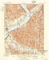
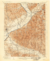
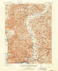
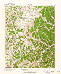
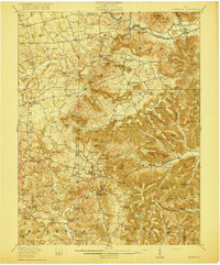
Other maps of this area
1906 · Waverly
USGS Topo · 1:62,500
1908 · Waverly
USGS Topo · 1:62,500
1911 · Sciotoville
USGS Topo · 1:62,500
1913 · Sciotoville
USGS Topo · 1:62,500
1915 · Bainbridge
USGS Topo · 1:48,000
1915 · Garrison
USGS Topo · 1:62,500
1915 · Otway
USGS Topo · 1:62,500
1915 · Piketon
USGS Topo · 1:62,500
1916 · Peebles
USGS Topo · 1:62,500
1917 · Bainbridge
USGS Topo · 1:62,500