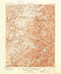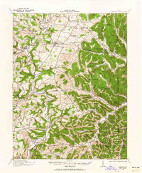
1916 Map of Peebles
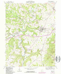
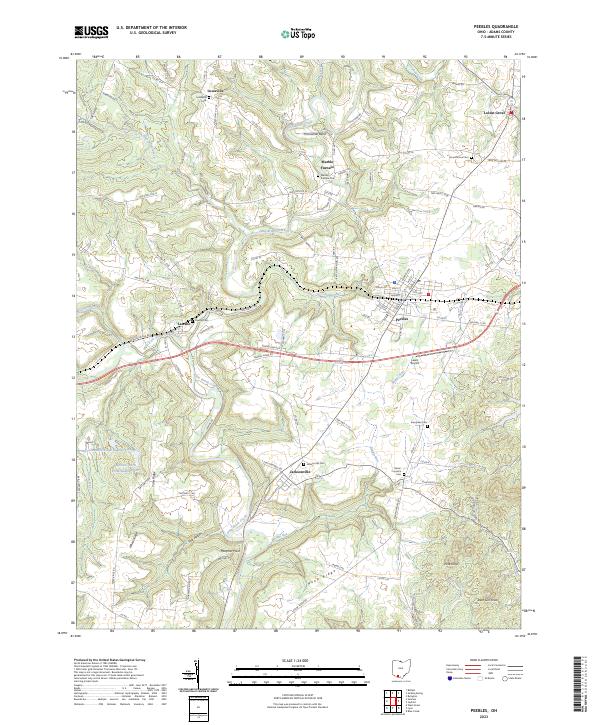
USGS Topo · Published 1962About this map
Peebles serves as a central hub in this survey, where the Norfolk and Western RR cuts through the northern landscape near Beaver Pond. The terrain is defined by the winding course of Ohio Brush Creek and its many tributaries, including Little East Fork Brush Creek and West Fork Brush Creek. This era of the southern Ohio landscape reveals a dense network of local education, with numerous named institutions such as Bacon Flat School, Steam Furnace School, and Tater Ridge School serving rural families.
Find a feature on this map
99 named features on this map. Tap any name to fly to it.
Don’t see what you’re looking for? This feature index may not catch every label — zoom into the map to look around manually.
Map Details
Editions of this 1916 Peebles Map
This is the sole edition of this map. No revisions or reprints were ever made.
Historical Maps of Peebles Through Time
8 maps found