Loading...
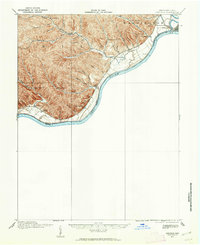
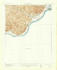
Loading map...1915 Map of Garrison
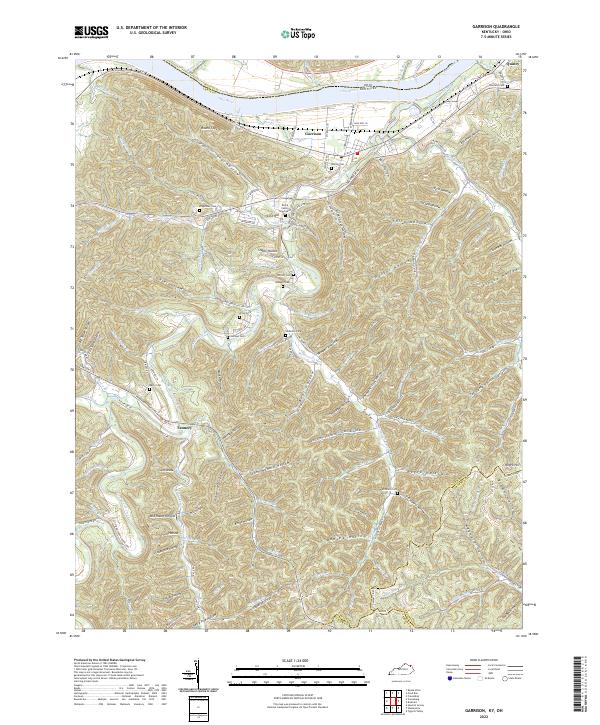
USGS Topo · Published 1952About this map
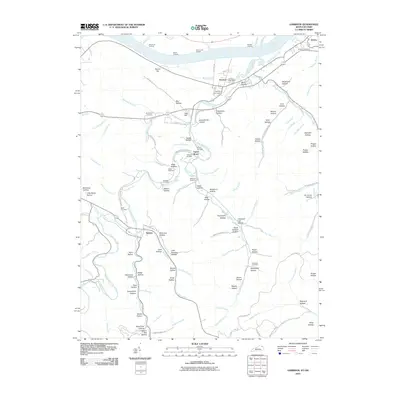
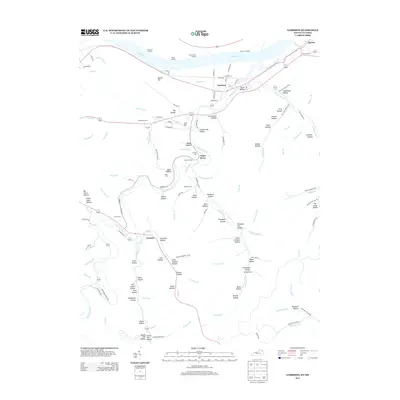
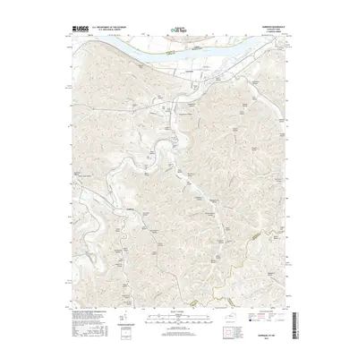
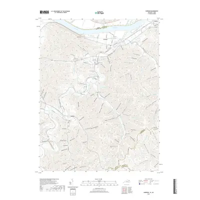
Portsmouth and the surrounding hill country along the Ohio River define this 1915 survey. The landscape is marked by a dense network of small rural schools, including Coriell School, Union School, and Pond Run School, which served the isolated valleys of Nile and Washington townships. At the confluence where the Scioto River meets the Ohio, the Scioto County Infirmary stands as a notable institutional landmark near Alexandria.
Find a feature on this map
45 named features on this map. Tap any name to fly to it.
Don’t see what you’re looking for? This feature index may not catch every label — zoom into the map to look around manually.
Map Details
Date Portrayed1915
Date Published1952
PublisherU.S. Geological Survey
Map TypeTopographic
Scale1:62,500
Physical Dimensions17.1 x 20.9 inches
Editions of this 1915 Garrison Map
This is the sole edition of this map. No revisions or reprints were ever made.
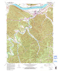
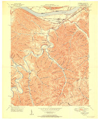
Historical Maps of Portsmouth Through Time
9 maps found
Featured Locations
Source Details
SourceU.S. Geological Survey
CopyrightPublic Domain