Old Maps of Portsmouth, Ohio
Explore 46 old maps of Portsmouth, spanning from 1911 to today. These high-resolution historic maps reveal how streets, neighborhoods, landmarks, and natural features evolved over time — perfect for genealogy, metal detecting, research, and local history exploration.
What you can do with these maps:
- See how Portsmouth changed over time: Compare historical maps to modern-day views to trace roads, homesites, rail lines & more.
- View detailed metadata: Each map includes creators, publishers, year, scale, and archive source.
- Overlay maps with satellite & LiDAR: Visualize the past alongside modern tools to explore terrain & human change.
- Trusted historical sources: Maps sourced from the USGS, Library of Congress, and other archives.
- Access maps your way: View online, download high-res files, or order prints for personal or research use.
Start exploring old maps of Portsmouth to uncover forgotten places, hidden landmarks, and the deep history beneath your feet.
Portsmouth, OH maps
(46)- 1911 Map of Sciotoville, 1952 Print
 1911 Sciotoville1952 Print · USGSThe industrial riverfronts and rural hollows of southern Ohio are shown here in the early twentieth century before modern development. Genealogists and historians can trace numerous rural landmarks like Davis Sta George PO, Harrison Furnace School, and the brickyards near New Boston.2 unique versions available
 - 1913 Map of Sciotoville, 1924 Print
 1913 Sciotoville1924 Print · USGSScioto County during the early twentieth century shows a landscape of river-front industry and deep-hollow settlements. Genealogists can trace family footprints across dozens of local school sites like Noel School and early industrial markers such as Scioto Furnace and Star Brickyard.2 unique versions available
 - 1915 Map of Garrison, 1952 Print
 1915 Garrison1952 Print · USGSThe riverfront and uplands of the Ohio Valley come alive in this mid-century publication of a Great War-era survey. Genealogists and local historians can trace the many rural schoolhouses like Elmtree School and Leatherwood School or find the early footprint of Portsmouth.
 - 1918 Map of Garrison, 1932 Print
 1918 Garrison1932 Print · USGSThe river valley at the Ohio and Kentucky border was a landscape of small schools and isolated runs during the mid-1910s. Researchers can trace the placement of local institutions like the Scioto County Infirmary and rural schools including Pond Run School and Carey Run School.
 - 1926 Map of Greenup
 1926 Greenup1926 Print · USGSGreenup County in the mid-1920s is a landscape of riverfront rail towns and a high density of rural schoolhouses tucked into the Kentucky hollows. Genealogists and historians can trace family locations near Old Steam Furnace School, Nonchalanta, and Taylor Sta McCall PO.3 unique versions available
 - 1930 Map of Greenup
 1930 Greenup1930 Print · USGSThe industrial corridor of the Ohio River valley is captured here in the early twentieth century, showing the borderlands of Greenup County and southern Ohio. Researchers can trace the legacy of iron production at Franklin Furnace or locate family roots near Tongs P O and Wurtland.3 unique versions available
 - 1949 Map of Friendship, 1962 Print
 1949 Friendship1962 Print · USGSThe Ohio River valley near the turn of the mid-century reveals a landscape of industrial river transport and deep-hollow settlements. Researchers can trace the legacy of rural education and faith at Lower Carey Run Sch, Pine Grove Sch, and Nace Run Tabernacle.
 - 1951 Map of Friendship
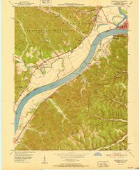 1951 Friendship1951 Print · USGSThe Ohio River valley at the turn of the 1950s shows a landscape of river-dependent industry and hill-country settlements. Researchers can trace the legacy of family homesteads through features like Morris Hill Cem, Bethel Ch, and Upper Carey Run Sch.2 unique versions available
 - 1953 Map of Portsmouth, 1955 Print
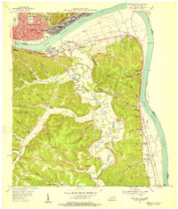 1953 Portsmouth1955 Print · USGSThe industrial hub of the Ohio River valley is captured here in the early 1950s, showing the dense rail networks and river towns of Ohio and Kentucky. Researchers can trace family sites from Portsmouth to rural hill schools like Black Oak Sch and Valley View Sch.2 unique versions available
 - 1957 Map of Huntington, 1966 Print
 1957 Huntington1966 Print · USGSThe industrial heart of the Ohio River valley is captured here in the mid-sixties, showing the growth of Huntington and Ashland. Researchers can trace the extensive rail networks of the Chesapeake and Ohio RR and locate sites like the Chief Cornstalk Hunting Ground.3 unique versions available
 - 1960 Map of Huntington
 1960 Huntington1960 Print · USGSThe tri-state river valley thrived in the late fifties as a hub of heavy industry and Appalachian rail transit. Genealogists and historians can trace the connection between river towns like Ashland and Portsmouth or locate family homesteads near Coleman Ridge.
 - 1961 Map of Minford, 1962 Print
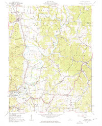 1961 Minford1962 Print · USGSScioto County's hill country is captured here during the early sixties, showing a landscape defined by industrial history and small-town growth. You can trace early rail lines to Scioto Furnace or locate family plots at Bennett Cem and Lair Cem.2 unique versions available
 - 1961 Map of New Boston, 1962 Print
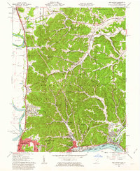 1961 New Boston1962 Print · USGSThe Scioto and Ohio River valleys thrive in the early sixties as industrial expansion meets the wooded ridges of the southern hill country. Researchers can trace the river-and-rail infrastructure of New Boston or locate rural landmarks like Harrison Furnace and Stony Hill Cem.3 unique versions available
 - 1961 Map of Wheelersburg, 1963 Print
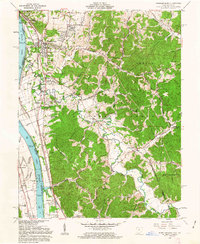 1961 Wheelersburg1963 Print · USGSThe Ohio River valley in the early 1960s reveals a landscape defined by industry and community growth near Wheelersburg. Researchers can trace old property lines within the French Grants or locate landmarks like the Greenup Locks and Dam and the local Drive-in Theater.4 unique versions available
 - 1968 Map of Friendship, 1970 Print
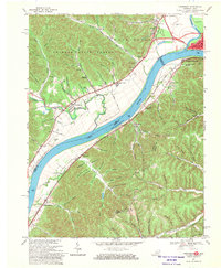 1968 Friendship1970 Print · USGSThe Ohio River borderlands are seen here in the late sixties, where industrial valleys meet the forested ridges of Shawnee State Forest. Genealogists can trace family landmarks like Vaughters Cem, Stony Run Tabernacle, and Morris Hill Ch.3 unique versions available
 - 1968 Map of Portsmouth, 1970 Print
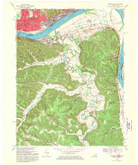 1968 Portsmouth1970 Print · USGSThe Ohio River valley at Portsmouth and South Shore was a bustling corridor of rail and river industry in the late sixties. Genealogists and local historians can trace the foundations of New Boston and South Portsmouth, or find rural landmarks like Globe Ch and Fannin Cem.2 unique versions available
 - 1981 Map of Ironton, 1982 Print
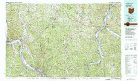 1981 Ironton1982 Print · USGSThe tri-state river valley at the start of the eighties shows a landscape shaped by heavy industry, atomic energy, and sprawling national forests. Researchers can trace the legacy of iron production at Harrison Furnace or follow the historic rail lines of the C & O RR and N & W RR.
 - 1986 Map of Maysville
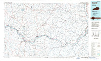 1986 Maysville1986 Print · USGSThe Ohio River valley in the mid-eighties reveals a landscape of industrial river towns and sprawling public lands spanning the Kentucky and Ohio border. Researchers can trace the rail corridors of the Chesapeake and Ohio Railway or locate landmarks like Confidence Cemetery and the Fleming-Mason Airport.
 - 1991 Map of Maysville
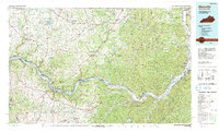 1991 Maysville1991 Print · USGSThe Ohio River valley at the turn of the nineties reveals a landscape of river-bend towns and dense forest preserves. Trace local history through landmark sites like Confidence Cemetery, the small-town streets of Ripley, and the river reaches of Manchester Island No 1.
 - 2002 Map of Wheelersburg, 2006 Print
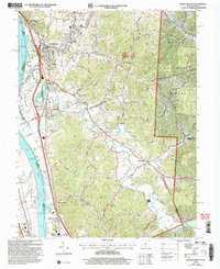 2002 Wheelersburg2006 Print · USGSThe Ohio River borderlands at the turn of the millennium show a landscape where industrial transit and national forest land meet. Genealogists and historians can trace family locations near Floral Hills Memory Gardens, Old Burch Cem, and the Grays Branch Sch.
 - 2002 Map of Minford, 2006 Print
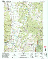 2002 Minford2006 Print · USGSThe Scioto River valley at the turn of the millennium reveals a landscape of old industrial hamlets and family farmsteads. Researchers can trace ancestral sites like Mule Town and Scioto Furnace or locate family plots at Batterson Cem and Monroe Cem.
 - 2010 Map of Friendship, 2010 Print
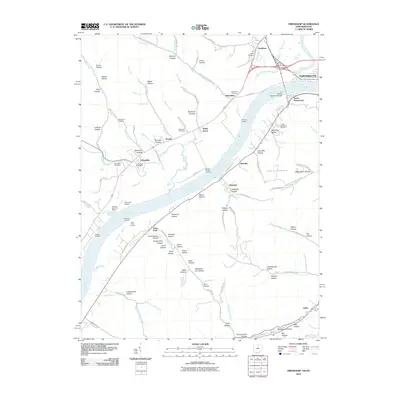 2010 Friendship2010 Print · USGSThe Ohio River valley at the turn of the millennium shows a landscape defined by historic river landings and rugged Kentucky-Ohio border terrain. Researchers can locate family burial grounds like Worley Run Cemetery and trace early river access points including Walker Landing and Sullivans Landing.
 - 2010 Map of Portsmouth, 2010 Print
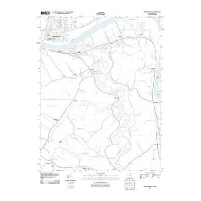 2010 Portsmouth2010 Print · USGSThe Ohio River borderlands between Ohio and Kentucky are shown here in detail during the early twenty-first century. Genealogists and local historians can trace family sites from Greenlawn Cemetery to Howe Cemetery and locate river landings like Reed Landing.
 - 2010 Map of New Boston, 2010 Print
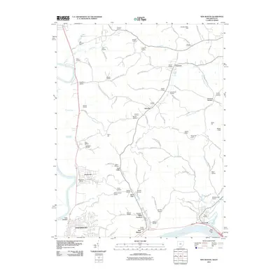 2010 New Boston2010 Print · USGSThe Scioto and Ohio Rivers converge near the turn of the twenty-first century, shaping the industrial and residential corridors of Portsmouth and New Boston. Trace the local heritage of Harrison Furnace or find ancestral sites at Stony Hill Cemetery and Summers Cemetery.
 - 2011 Map of Minford, 2011 Print
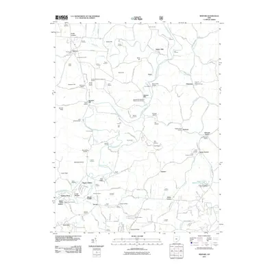 2011 Minford2011 Print · USGSScioto County comes into focus in this modern era survey, showing the deep-rooted settlements and cemeteries along the Little Scioto River valley. Genealogists can trace family landmarks like Bennett Schoolhouse, Scioto Furnace, and Fuhrmann Orchards.
Showing maps 1-25 of 46
Top cities near Portsmouth
- Ironton historical maps
- Flatwoods historical maps
- Russell historical maps
- Raceland historical maps
- New Boston historical maps
- Worthington historical maps
See more
Top neighborhoods of Portsmouth
- Sciotoville historical maps
- Boneyfiddle Commercial Historic District historical maps
- North Moreland historical maps
- Sixth Street Historic District historical maps
- Second Street Historic District historical maps
Frequently asked questions
- What are the different types of historical maps available for Portsmouth?
- What is the oldest map of Portsmouth?
- Where can I purchase historical maps of Portsmouth for my home or office?
- Where can I download high-res historical maps of Portsmouth?
- Are there historical topographic maps available for Portsmouth?
- Is there historical aerial imagery available for Portsmouth?
- Where are historical maps of Portsmouth sourced from?