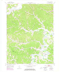
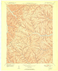
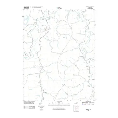
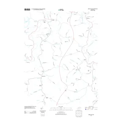
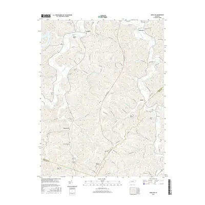
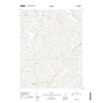
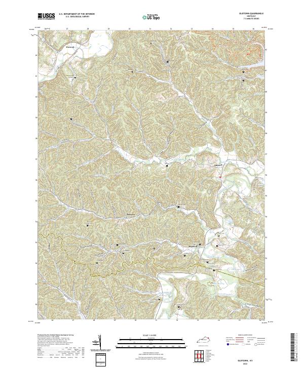
1953 Map of Oldtown
USGS Topo · Published 1978About this map
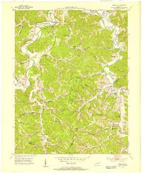
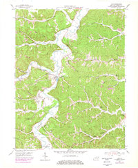
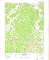
Tygarts Creek and the Little Sandy River carve a dissected landscape through the Greenup and Carter County borderlands, revealing a rural Kentucky topography of narrow hollows and high ridges. The 1953 survey, later updated with mid-1970s data, illustrates a community structure centered on small settlements like Warnock, Oldtown, and Hopewell. The social fabric of the era is evidenced by numerous country schools, including Claylick Sch and Lost Creek Sch, alongside many family-named burial grounds like the Johnson Cem and Bellow Cem. Significant land use changes are visible in the northeast, where Greenbo Lake State Resort Park surrounds Greenbo Lake. The map also documents the region's natural resource extraction, noting several Oil Wells and a Gas Well along the river valleys, while Sugar Cane Hol and Tulga 1036 mark the varied local terrain.
Find a feature on this map
100 named features on this map. Tap any name to fly to it.
Don’t see what you’re looking for? This feature index may not catch every label — zoom into the map to look around manually.
Map Details
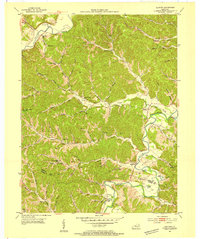
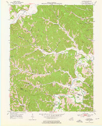
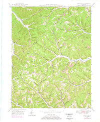
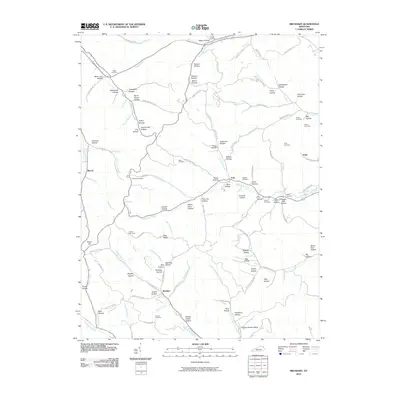
Editions of this 1953 Oldtown Map
3 editions found
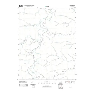
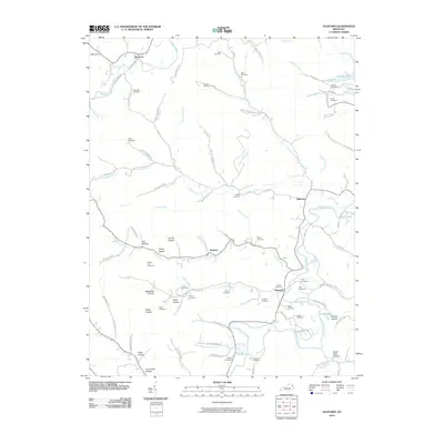
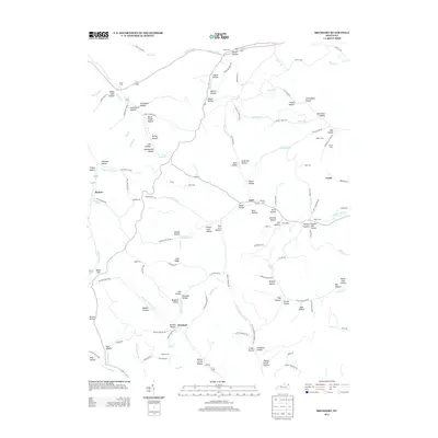
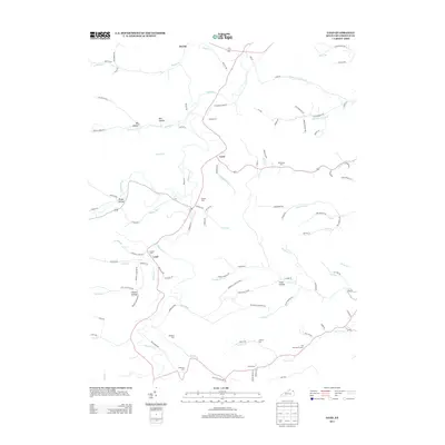
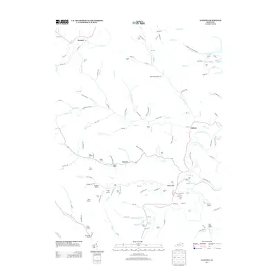
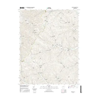
Historical Maps of Hopewell Through Time
26 maps found
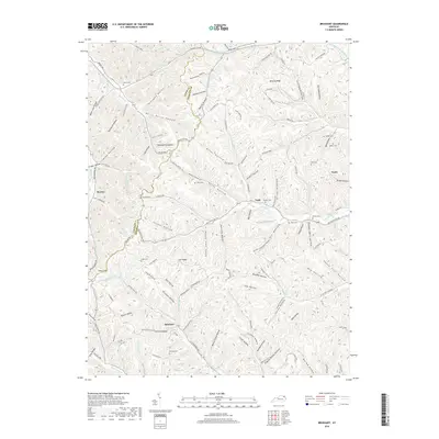
1949 Brushart
Greenup County, KY
1950 Brushart
Greenup County, KY
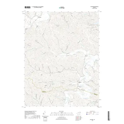
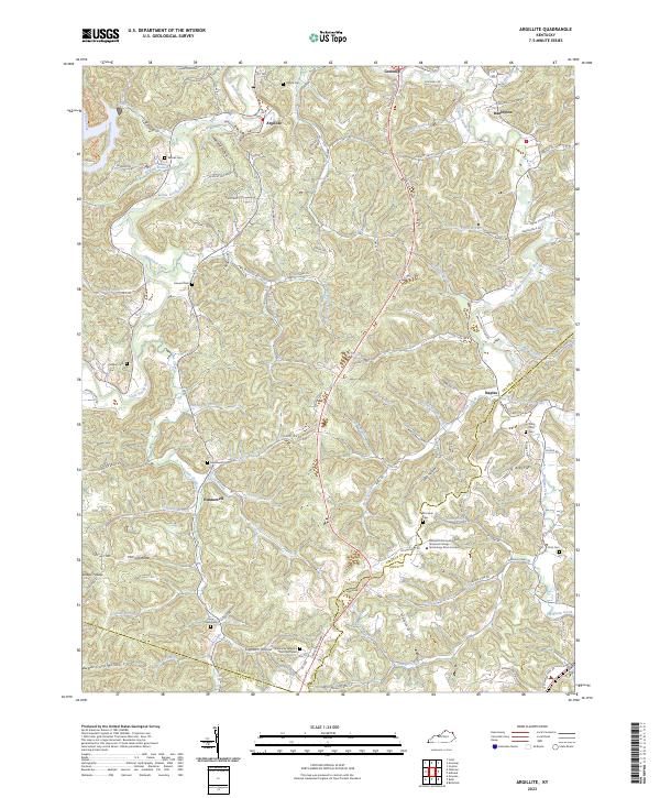
1953 Argillite
Greenup County, KY
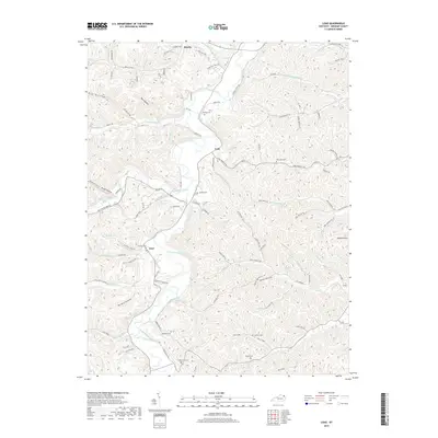
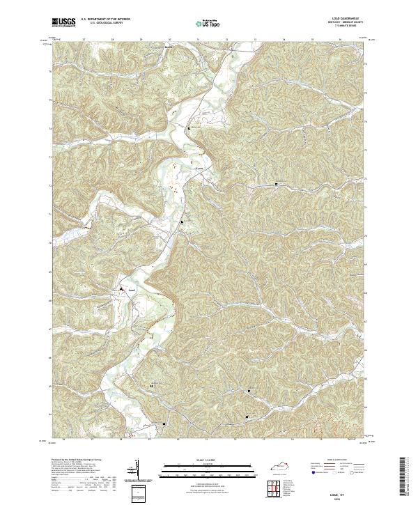
1953 Load
Greenup County, KY
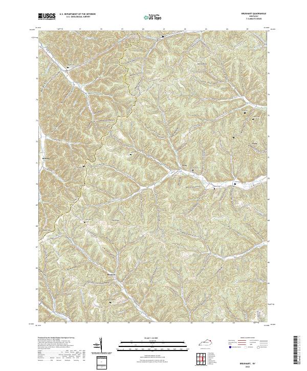
1953 Oldtown
Greenup County, KY
1972 Argillite
Greenup County, KY
2010 Argillite
Greenup County, KY
2010 Brushart
Greenup County, KY
2010 Load
Greenup County, KY
2010 Oldtown
Greenup County, KY
2013 Argillite
Greenup County, KY
2013 Brushart
Greenup County, KY
2013 Load
Greenup County, KY
2013 Oldtown
Greenup County, KY
2016 Argillite
Greenup County, KY
2016 Brushart
Greenup County, KY
2016 Load
Greenup County, KY
2016 Oldtown
Greenup County, KY
2019 Argillite
Greenup County, KY
2019 Brushart
Greenup County, KY
2019 Load
Greenup County, KY
2019 Oldtown
Greenup County, KY
2022 Brushart
Greenup County, KY
2022 Load
Greenup County, KY
2022 Oldtown
Greenup County, KY
2023 Argillite
Greenup County, KY