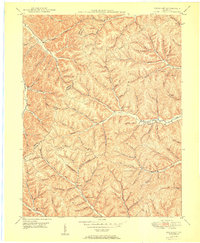
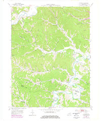
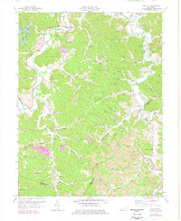
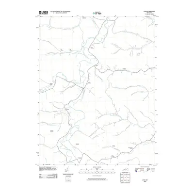
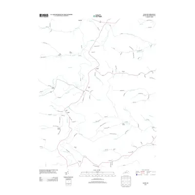
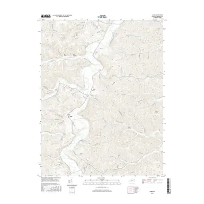
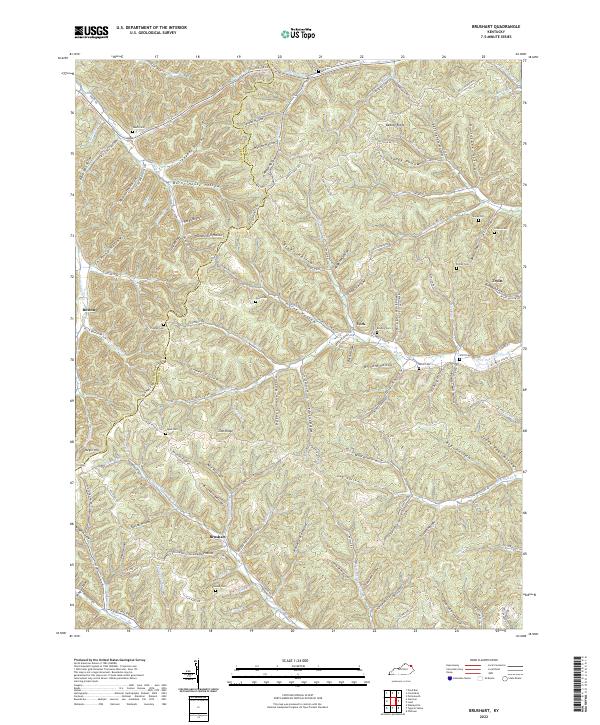
1950 Map of Brushart
USGS Topo · Published 1950About this map
Beauty Ridge and Zion Ridge dominate the landscape of this corner of eastern Kentucky, where the boundary between Lewis and Greenup counties follows the winding high ground. The 1950 topography reveals a deeply dissected terrain of narrow hollows and creek beds that dictated the placement of small rural communities like Whiteoak, York, and Brushart. This era in the Appalachian foothills was defined by a dense network of country schools and family burial grounds, providing a vital resource for genealogists.
Find a feature on this map
73 named features on this map. Tap any name to fly to it.
Don’t see what you’re looking for? This feature index may not catch every label — zoom into the map to look around manually.
Map Details
Editions of this 1950 Brushart Map
This is the sole edition of this map. No revisions or reprints were ever made.
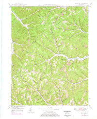
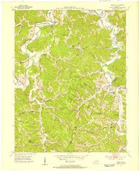
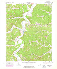
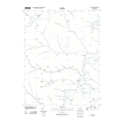
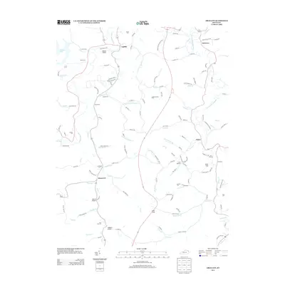
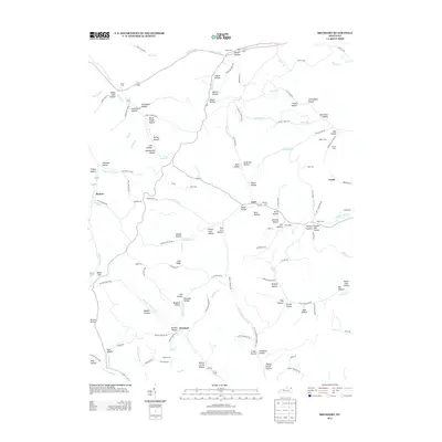
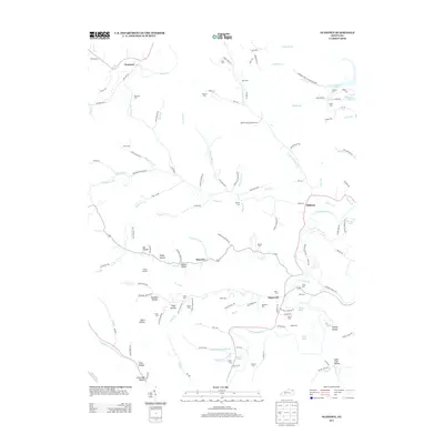
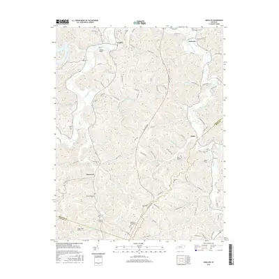
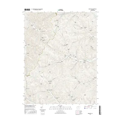
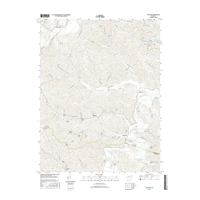
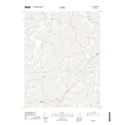
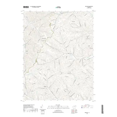
Historical Maps of York Through Time
26 maps found
1949 Brushart
Greenup County, KY
1950 Brushart
Greenup County, KY
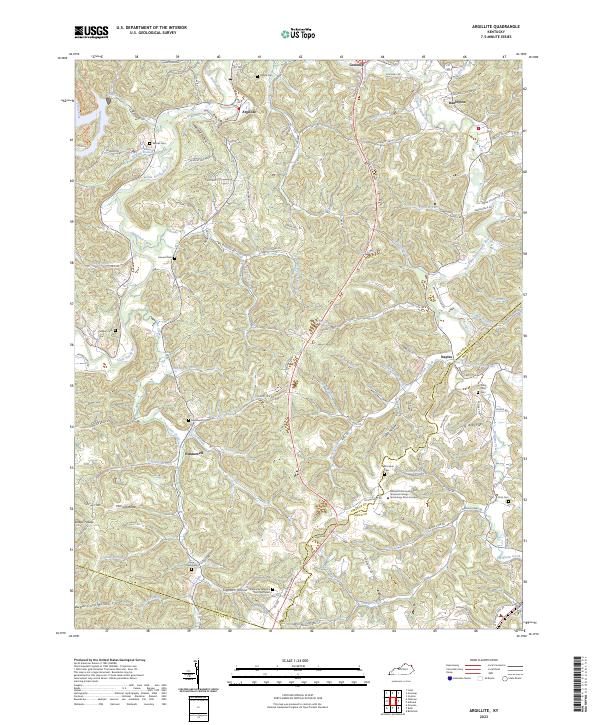
1953 Argillite
Greenup County, KY
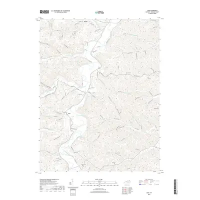
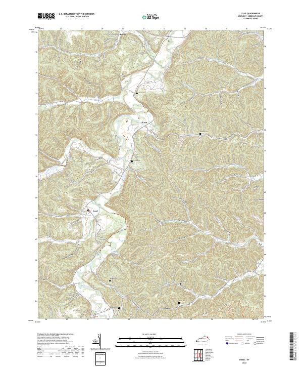
1953 Load
Greenup County, KY
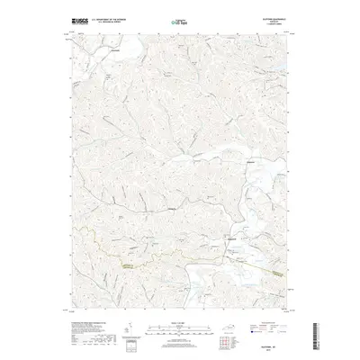
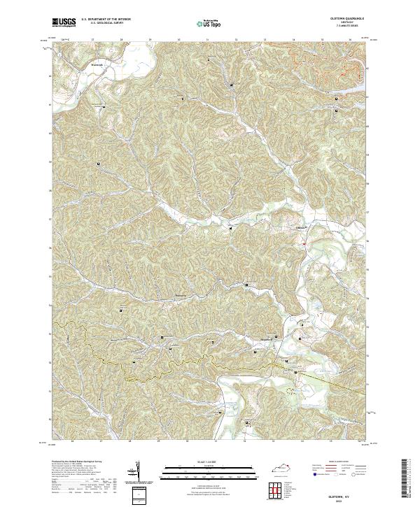
1953 Oldtown
Greenup County, KY
1972 Argillite
Greenup County, KY
2010 Argillite
Greenup County, KY
2010 Brushart
Greenup County, KY
2010 Load
Greenup County, KY
2010 Oldtown
Greenup County, KY
2013 Argillite
Greenup County, KY
2013 Brushart
Greenup County, KY
2013 Load
Greenup County, KY
2013 Oldtown
Greenup County, KY
2016 Argillite
Greenup County, KY
2016 Brushart
Greenup County, KY
2016 Load
Greenup County, KY
2016 Oldtown
Greenup County, KY
2019 Argillite
Greenup County, KY
2019 Brushart
Greenup County, KY
2019 Load
Greenup County, KY
2019 Oldtown
Greenup County, KY
2022 Brushart
Greenup County, KY
2022 Load
Greenup County, KY
2022 Oldtown
Greenup County, KY
2023 Argillite
Greenup County, KY