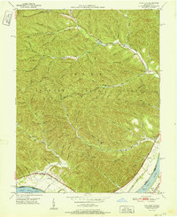
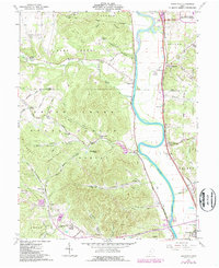
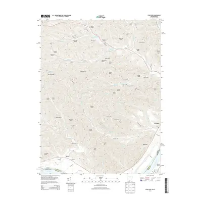
1949 Map of Pond Run
USGS Topo · Published 1960About this map
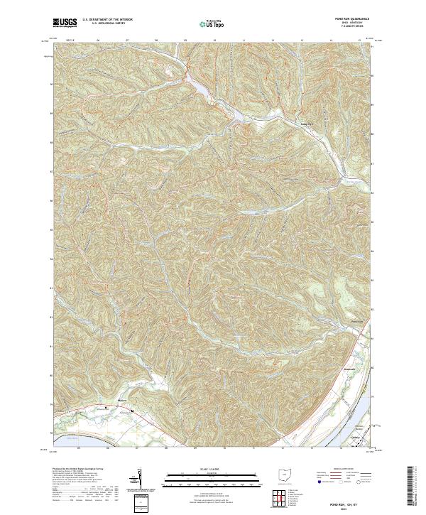
Shawnee State Forest dominates this 1949 survey, covering a heavily dissected landscape of hollows and ridges in southern Ohio. The terrain is defined by complex drainage systems like Turkey Creek and Pond Run, which have carved deep valleys such as Poplar Tree Hollow and Cotton Eye Hollow. Human activity is concentrated along the periphery, particularly near the Ohio River where the Chesapeake and Ohio railroad corridor facilitates movement between riverside settlements like Quincy and Kennvale. Inside the forest, the map identifies key recreational and management infrastructure including Roosevelt Lake 671, Pond Lick Lake, and the Pond Run Lookout Tower. For local historians, the sheet preserves the location of the McDermott Cem and the Elmtree Sch near McGaw, providing a record of the community before mid-century changes.
Find a feature on this map
69 named features on this map. Tap any name to fly to it.
Don’t see what you’re looking for? This feature index may not catch every label — zoom into the map to look around manually.
Map Details
Editions of this 1949 Pond Run Map
This is the sole edition of this map. No revisions or reprints were ever made.
Historical Maps of Scioto County Through Time
16 maps found
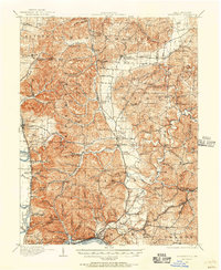
1911 Sciotoville
Scioto County, OH
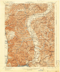
1913 Sciotoville
Scioto County, OH
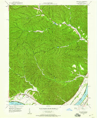
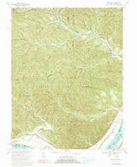
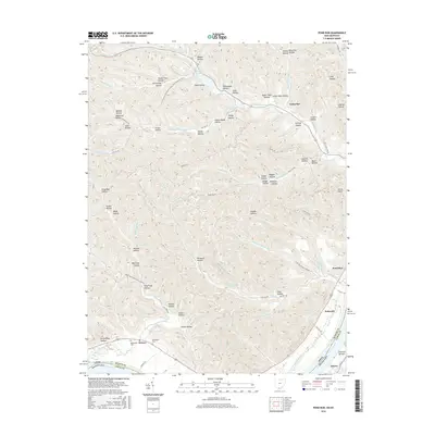
1949 Pond Run
Scioto County, OH
1951 Pond Run
Scioto County, OH
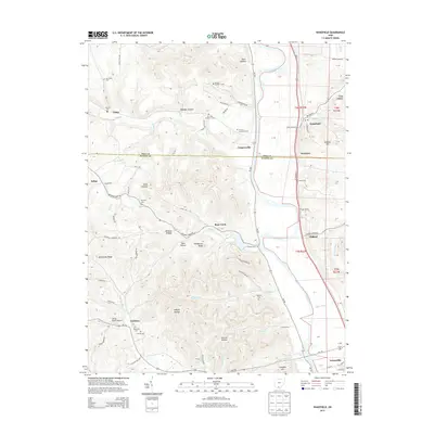
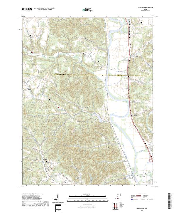
1961 Wakefield
Scioto County, OH
1967 Pond Run
Scioto County, OH
2010 Pond Run
Scioto County, OH
2010 Wakefield
Scioto County, OH
2013 Pond Run
Scioto County, OH
2013 Wakefield
Scioto County, OH
2016 Pond Run
Scioto County, OH
2016 Wakefield
Scioto County, OH
2019 Pond Run
Scioto County, OH
2019 Wakefield
Scioto County, OH
2023 Pond Run
Scioto County, OH
2023 Wakefield
Scioto County, OH