
1930 Map of Greenup
USGS Topo · Published 1930About this map
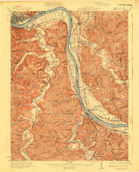
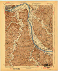
Industrial history and rural Kentucky-Ohio river life converge along the Ohio River in this 1930 edition. The landscape is defined by the remnants of the regional iron industry, evidenced by landmarks like Franklin Furnace, Junior Furnace, and Ohio Furnace. On the Kentucky side, Tygarts Creek and Schultz Creek wind through deep hollows such as Warnock Hollow and Kagley Hollow.
Find a feature on this map
101 named features on this map. Tap any name to fly to it.
Don’t see what you’re looking for? This feature index may not catch every label — zoom into the map to look around manually.
Map Details
Editions of this 1930 Greenup Map
3 editions found
Other maps of this area

1898 · Ironton
USGS Topo · 1:62,500

1900 · Ironton
USGS Topo · 1:62,500

1901 · Ceredo
USGS Topo · 1:62,500

1903 · Kenova
USGS Topo · 1:125,000

1904 · Kenova
USGS Topo · 1:125,000

1911 · Sciotoville
USGS Topo · 1:62,500

1912 · Oak Hill
USGS Topo · 1:62,500

1913 · Ceredo
USGS Topo · 1:62,500

1913 · Sciotoville
USGS Topo · 1:62,500

1915 · Garrison
USGS Topo · 1:62,500