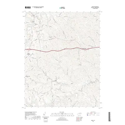
2019 Map of Grahn
USGS Topo · Published 2019About this map
Tygarts Creek winds through the northwest corner of this Carter County landscape, flanked by distinctive natural features such as the Devils Backbone, Hocks Nest, and the geological depression of Box Canyon. This 2019 survey reflects a modern view of the rural settlements of Grahn, Aden, and Gregoryville, where the terrain is heavily defined by a series of narrow hollows including Kinney Camp Hollow and Maddox Hollow.
Find a feature on this map
112 named features on this map. Tap any name to fly to it.
Don’t see what you’re looking for? This feature index may not catch every label — zoom into the map to look around manually.
Map Details
Editions of this 2019 Grahn Map
This is the sole edition of this map. No revisions or reprints were ever made.
Other maps of this area

1903 · Kenova
USGS Topo · 1:125,000

1904 · Kenova
USGS Topo · 1:125,000

1950 · Bruin
USGS Topo · 1:24,000

1950 · Grahn
USGS Topo · 1:24,000

1950 · Wesleyville
USGS Topo · 1:24,000

1950 · Olive Hill
USGS Topo · 1:24,000

1950 · Ault
USGS Topo · 1:24,000

1950 · Tygarts Valley
USGS Topo · 1:24,000

1953 · Grayson
USGS Topo · 1:24,000

1953 · Oldtown
USGS Topo · 1:24,000