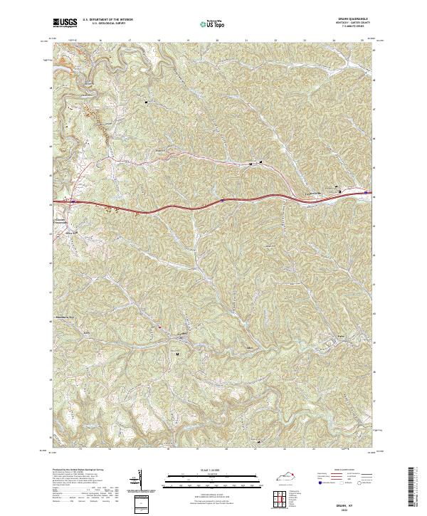
2022 Map of Grahn
USGS Topo · Published 2022About this map
The hills of eastern Kentucky are deeply etched by the winding waters of Tygarts Creek and the Little Sinking Creek in this 2022 survey. Small communities like Grahn, Gregoryville, and Aden follow the narrow valleys, connected by the historical route of the Chesapeake and Ohio Railway that cuts across the southern portion of the landscape. The region's geography is defined by distinctive local landmarks, from the dramatic Devils Backbone and Hocks Nest in the northwest to the secluded Box Canyon near Rose Lake.
Find a feature on this map
95 named features on this map. Tap any name to fly to it.
Don’t see what you’re looking for? This feature index may not catch every label — zoom into the map to look around manually.
Map Details
Editions of this 2022 Grahn Map
This is the sole edition of this map. No revisions or reprints were ever made.
Other maps of this area

1903 · Kenova
USGS Topo · 1:125,000

1904 · Kenova
USGS Topo · 1:125,000

1950 · Bruin
USGS Topo · 1:24,000

1950 · Grahn
USGS Topo · 1:24,000

1950 · Wesleyville
USGS Topo · 1:24,000

1950 · Olive Hill
USGS Topo · 1:24,000

1950 · Ault
USGS Topo · 1:24,000

1950 · Tygarts Valley
USGS Topo · 1:24,000

1953 · Grayson
USGS Topo · 1:24,000

1953 · Oldtown
USGS Topo · 1:24,000