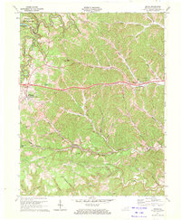
1970 Map of Grahn
USGS Topo · Published 1972About this map
Carter Caves State Resort Park dominates the northwest corner of this landscape, where Smoky Valley Lake and the Cascade Caves form a focal point for recreation. The terrain is deeply incised by Tygarts Creek and its many tributaries, creating a complex network of hollows such as Gregory Hollow and Burns Hollow. This topography heavily influenced the path of the Chesapeake and Ohio railroad, which follows the winding valley floor through the settlements of Grahn and Aden, the latter featuring the notable Aden Tunnel.
Find a feature on this map
60 named features on this map. Tap any name to fly to it.
Don’t see what you’re looking for? This feature index may not catch every label — zoom into the map to look around manually.
Map Details
Editions of this 1970 Grahn Map
2 editions found
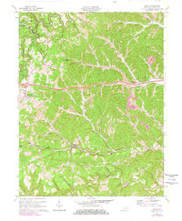
Other maps of this area

1903 · Kenova
USGS Topo · 1:125,000

1904 · Kenova
USGS Topo · 1:125,000

1950 · Bruin
USGS Topo · 1:24,000

1950 · Grahn
USGS Topo · 1:24,000

1950 · Wesleyville
USGS Topo · 1:24,000

1950 · Olive Hill
USGS Topo · 1:24,000

1950 · Ault
USGS Topo · 1:24,000

1950 · Tygarts Valley
USGS Topo · 1:24,000

1953 · Grayson
USGS Topo · 1:24,000

1953 · Oldtown
USGS Topo · 1:24,000