Loading...
Loading map...2024 Map of Grand Detour
USGS Topo · Published 2024About this map
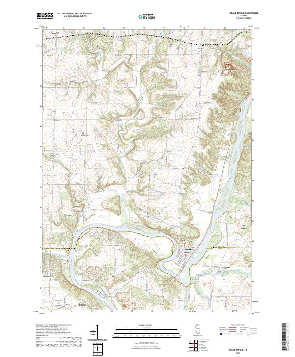
The Rock River creates a dramatic horseshoe bend at Grand Detour, a historic settlement that sits at the border of Ogle and Lee counties. This landscape is defined by the winding paths of Pine Creek and Franklin Creek as they converge toward the river's valley. To the north, the small community of Stratford lies near the intersection of Co HWY 35 and W Pines Rd, while the eastern portion of the map is marked by the distinctive terrain of Lost Nation and the settlement of Kingdom.
Find a feature on this map
79 named features on this map. Tap any name to fly to it.
Don’t see what you’re looking for? This feature index may not catch every label — zoom into the map to look around manually.
Map Details
Date Portrayed2024
Date Published2024
PublisherU.S. Geological Survey
Map TypeTopographic
Scale1:24000
Physical Dimensions24 x 29 inches
Editions of this 2024 Grand Detour Map
This is the sole edition of this map. No revisions or reprints were ever made.
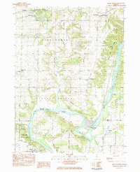
Historical Maps of Stratford Through Time
Featured Locations
- Taylor Township, IL
- Grand Detour Township, IL
- Grand Detour, Grand Detour Township
- Kingdom, Nachusa Township
- Dixon, Dixon Township
Source Details
SourceU.S. Geological Survey
CopyrightPublic Domain