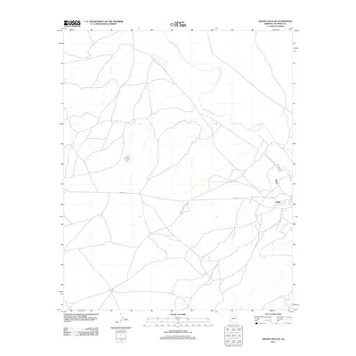
2011 Map of Grand Falls SE
USGS Topo · Published 2011About this map
Leupp serves as the primary hub of activity in this arid high-desert region of the Navajo Nation during the early 21st century. The landscape is defined by the winding course of the Little Colorado River as it cuts through the northern portion of the quadrangle. Transportation and connectivity across this territory rely on key arterial corridors, specifically Indian Rte-15 and Navajo Reservation Rd. These routes facilitate movement through a sparse terrain where the relationship between the river valley and the developed community at Leupp represents the core of local geography. The map provides a precise view of the road networks and hydrography as they existed in 2011, documenting the essential infrastructure of this corner of Coconino County.
Find a feature on this map
4 named features on this map. Tap any name to fly to it.
Don’t see what you’re looking for? This feature index may not catch every label — zoom into the map to look around manually.
Map Details
Editions of this 2011 Grand Falls SE Map
This is the sole edition of this map. No revisions or reprints were ever made.
Other maps of this area

1883 · Tusayan
USGS Topo · 1:250,000

1886 · Tusayan
USGS Topo · 1:250,000

1886 · San Francisco Mtns
USGS Topo · 1:250,000

1891 · San Francisco Mtns
USGS Topo · 1:250,000

1894 · San Francisco Mtns
USGS Topo · 1:250,000

1899 · San Francisco Mtns
USGS Topo · 1:250,000

1947 · Flagstaff
USGS Topo · 1:250,000

1954 · Flagstaff
USGS Topo · 1:250,000

1955 · Winslow 2 SW
USGS Topo · 1:24,000

1955 · Grand Falls NE
USGS Topo · 1:24,000