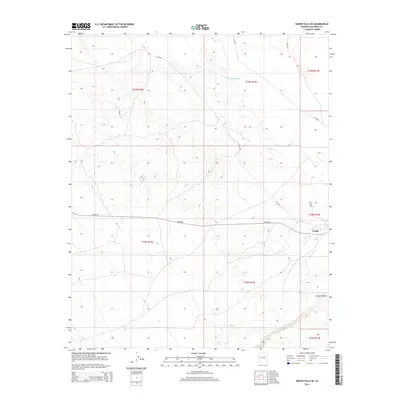
2014 Map of Grand Falls SE
USGS Topo · Published 2014About this map
Leupp serves as the primary focal point of this arid landscape, situated near the intersection of several significant local transit routes. The settlement's placement reflects the ongoing importance of regional infrastructure in the eastern Navajo Nation, as evidenced by the paths of Leupp Rd and Bureau of Indian Affairs routes such as Bia-6910. The terrain is defined by the winding course of the Little Colorado River in the north and the dramatic incision of Canyon Diablo in the southeast. These geological features have historically dictated movement and settlement patterns across the high desert, providing a structured view of the Coconino County interior during the early 21st century. The map illustrates how modern thoroughfares follow the natural contours of the land, navigating between the river basin and the deep canyon systems.
Find a feature on this map
11 named features on this map. Tap any name to fly to it.
Don’t see what you’re looking for? This feature index may not catch every label — zoom into the map to look around manually.
Map Details
Editions of this 2014 Grand Falls SE Map
This is the sole edition of this map. No revisions or reprints were ever made.
Other maps of this area

1883 · Tusayan
USGS Topo · 1:250,000

1886 · Tusayan
USGS Topo · 1:250,000

1886 · San Francisco Mtns
USGS Topo · 1:250,000

1891 · San Francisco Mtns
USGS Topo · 1:250,000

1894 · San Francisco Mtns
USGS Topo · 1:250,000

1899 · San Francisco Mtns
USGS Topo · 1:250,000

1947 · Flagstaff
USGS Topo · 1:250,000

1954 · Flagstaff
USGS Topo · 1:250,000

1955 · Winslow 2 SW
USGS Topo · 1:24,000

1955 · Grand Falls NE
USGS Topo · 1:24,000