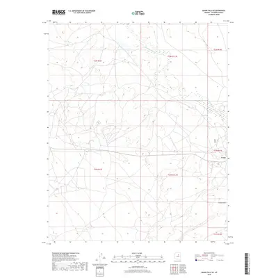
2018 Map of Grand Falls SE
USGS Topo · Published 2018About this map
Leupp sits at the edge of this arid high-desert landscape, serving as a primary point of settlement within the Navajo Nation. The terrain is defined by the winding course of the Little Colorado River, which meanders through the northern section of the quadrangle. This 2018 survey reveals the geographic relationship between the residential and community infrastructure of the town and the natural drainage systems of the region. To the south, the deep incision of Canyon Diablo cuts through the plains, highlighting the dramatic erosion patterns characteristic of the Coconino County plateau. The map details the modern road network and land divisions, including extensive township and range boundaries such as t22n r13e and t21n r13e, which organize this vast expanse of open country.
Find a feature on this map
10 named features on this map. Tap any name to fly to it.
Don’t see what you’re looking for? This feature index may not catch every label — zoom into the map to look around manually.
Map Details
Editions of this 2018 Grand Falls SE Map
This is the sole edition of this map. No revisions or reprints were ever made.
Other maps of this area

1883 · Tusayan
USGS Topo · 1:250,000

1886 · Tusayan
USGS Topo · 1:250,000

1886 · San Francisco Mtns
USGS Topo · 1:250,000

1891 · San Francisco Mtns
USGS Topo · 1:250,000

1894 · San Francisco Mtns
USGS Topo · 1:250,000

1899 · San Francisco Mtns
USGS Topo · 1:250,000

1947 · Flagstaff
USGS Topo · 1:250,000

1954 · Flagstaff
USGS Topo · 1:250,000

1955 · Winslow 2 SW
USGS Topo · 1:24,000

1955 · Grand Falls NE
USGS Topo · 1:24,000