
1949 Map of Grand Island Pass
USGS Topo · Published 1949About this map
Lake Borgne L. H. stands at the transition between protected inland waters and the open Mississippi Sound in this mid-century survey of the coastal Louisiana-Mississippi line. The map highlights the shifting interface of water and marshland, centered on the complex landform of Grand Island and the navigable Grand Island Pass. This advance sheet was compiled from aerial photographs taken by the Air Corps, documenting the precise configuration of marshy islets like Grassy Id and the winding course of West Bayou before subsequent decades of coastal erosion. The maritime importance of the area is underscored by the prominence of Lower Pt Clear and the jurisdictional divide between Hancock County and St. Bernard Parish, marking a remote and environmentally dynamic stretch of the Gulf Coast.
Find a feature on this map
11 named features on this map. Tap any name to fly to it.
Don’t see what you’re looking for? This feature index may not catch every label — zoom into the map to look around manually.
Map Details
Editions of this 1949 Grand Island Pass Map
This is the sole edition of this map. No revisions or reprints were ever made.
Other maps of this area

1893 · Rigolets
USGS Topo · 1:62,500

1893 · Toulme
USGS Topo · 1:62,500

1914 · Nicholson
USGS Topo · 1:62,500

1921 · Nicholson
USGS Topo · 1:62,500

1935 · English Lookout
USGS Topo · 1:31,680

1935 · Grand Island Pass
USGS Topo · 1:31,680

1936 · Rigolets
USGS Topo · 1:62,500

1946 · Malheureux Point
USGS Topo · 1:31,680
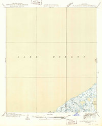
1949 · False Mouth Bayou
USGS Topo · 1:31,680
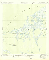
1949 · Drum Bay
USGS Topo · 1:31,680