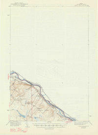
1940 Map of Grand Isle
USGS Topo · Published 1947About this map
The St John River forms a prominent international boundary between the United States and Canada in this northern Maine landscape. Surveyed in the 1930s, the map illustrates a tightly knit series of settlements along the river's southern bank, including St David, Grand Isle, and Lille. The transportation corridor is dominated by the Bangor and Aroostook railroad, which parallels the river and connects these remote border communities. Inland from the river, the terrain transitions into the townships of Madawaska and Grand Isle, where local education is anchored by rural landmarks like School No 9 and the Doucotte Sch. Numerous small waterways such as Beaulieu Br and Little River drain the rolling hills into the valley, while Germain Lake and Lavels Lake provide distinct geographic anchors in the southern portion of the quadrangle.
Find a feature on this map
24 named features on this map. Tap any name to fly to it.
Don’t see what you’re looking for? This feature index may not catch every label — zoom into the map to look around manually.
Map Details
Editions of this 1940 Grand Isle Map
3 editions found

Other maps of this area

1921 · Van Buren
USGS Topo · 1:250,000

1927 · Stockholm
USGS Topo · 1:48,000

1927 · Square Lake
USGS Topo · 1:48,000

1931 · Square Lake
USGS Topo · 1:62,500

1931 · Van Buren
USGS Topo · 1:48,000

1931 · Stockholm
USGS Topo · 1:62,500

1932 · Frenchville
USGS Topo · 1:48,000

1934 · Van Buren
USGS Topo · 1:62,500

1935 · Frenchville
USGS Topo · 1:62,500

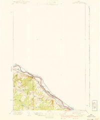
1938 · Grand Isle
USGS Topo · 1:62,500