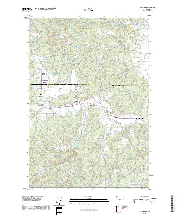
2024 Map of Grand Ronde
USGS Topo · Published 2024About this map
Grand Ronde Agency and the Confederated Tribes of Grand Ronde Cem serve as focal points for the cultural history and tribal governance within this part of the Coast Range foothills. The landscape is defined by the winding course of the South Yamhill River and its numerous tributaries, including Cockerham Creek and Rowell Creek. Settlement patterns cluster around Valley Junction and Grand Ronde, where the valley floor transitions into the elevated terrain of Spirit Mtn. Significant water management is evident through the presence of several reservoirs such as Suttner Reservoir, Burns Reservoir, and the Mountain Springs Ranch Reservoir. These features, alongside family-named sites like Holmes Cem and Hussey Cem, provide a detailed record of the community's ancestral footprint and the local agricultural and timber-based economy in contemporary Oregon.
Find a feature on this map
64 named features on this map. Tap any name to fly to it.
Don’t see what you’re looking for? This feature index may not catch every label — zoom into the map to look around manually.
Map Details
Editions of this 2024 Grand Ronde Map
This is the sole edition of this map. No revisions or reprints were ever made.
Other maps of this area

1942 · Sheridan
USGS Topo · 1:62,500

1942 · Spirit Mtn
USGS Topo · 1:62,500

1942 · Valsetz
USGS Topo · 1:62,500

1942 · Dallas
USGS Topo · 1:62,500

1948 · Vancouver
USGS Topo · 1:250,000

1950 · Vancouver
USGS Topo · 1:250,000

1950 · Vancouver
USGS Topo · 1:250,000

1953 · Salem
USGS Topo · 1:250,000

1954 · Salem
USGS Topo · 1:250,000

1955 · Grand Ronde
USGS Topo · 1:62,500