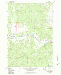
1979 Map of Grand Ronde
USGS Topo · Published 1983About this map
The Grand Ronde Agency serves as a focal point for this 1970s landscape along the Yamhill and Polk County border. The territory is defined by the winding course of the South Yamhill River and its numerous tributaries, including Cosper Creek and Rowell Creek. Industrial and transit activity is evident through the path of the Longview Portland and Northern railroad and several local resources like the Claypit and various quarries. Significant local landmarks such as Fort Hill and the prominent Spirit Mtn anchor the terrain. For those tracing family history in the region, the map identifies specific locations like Holmes Cem and the small settlement at Gold Creek, while the presence of a Landing Strip and Substation near Grand Ronde illustrates the infrastructure of the era.
Find a feature on this map
44 named features on this map. Tap any name to fly to it.
Don’t see what you’re looking for? This feature index may not catch every label — zoom into the map to look around manually.
Map Details
Editions of this 1979 Grand Ronde Map
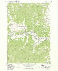
2 editions found
Other maps of this area

1942 · Sheridan
USGS Topo · 1:62,500

1942 · Spirit Mtn
USGS Topo · 1:62,500

1942 · Valsetz
USGS Topo · 1:62,500

1942 · Dallas
USGS Topo · 1:62,500

1948 · Vancouver
USGS Topo · 1:250,000

1950 · Vancouver
USGS Topo · 1:250,000

1950 · Vancouver
USGS Topo · 1:250,000

1953 · Salem
USGS Topo · 1:250,000

1954 · Salem
USGS Topo · 1:250,000

1955 · Grand Ronde
USGS Topo · 1:62,500