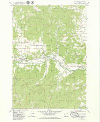
1979 Map of Grand Ronde
USGS Topo · Published 1979About this map
The Grand Ronde Agency and the community of Grand Ronde anchor this late-1970s landscape where the timber and agricultural lands of Polk and Yamhill counties meet. The South Yamhill River cuts through the center of the quadrangle, joined by numerous tributaries such as Agency Creek and Cosper Creek. The transportation and industrial backbone of the era is evident through the path of the Longview Portland and Northern railroad, which parallels the river and connects points like Valley Junc.
Find a feature on this map
38 named features on this map. Tap any name to fly to it.
Don’t see what you’re looking for? This feature index may not catch every label — zoom into the map to look around manually.
Map Details
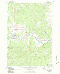
Editions of this 1979 Grand Ronde Map
2 editions found
Other maps of this area

1942 · Sheridan
USGS Topo · 1:62,500

1942 · Spirit Mtn
USGS Topo · 1:62,500

1942 · Valsetz
USGS Topo · 1:62,500

1942 · Dallas
USGS Topo · 1:62,500

1948 · Vancouver
USGS Topo · 1:250,000

1950 · Vancouver
USGS Topo · 1:250,000

1950 · Vancouver
USGS Topo · 1:250,000

1953 · Salem
USGS Topo · 1:250,000

1954 · Salem
USGS Topo · 1:250,000

1955 · Grand Ronde
USGS Topo · 1:62,500