
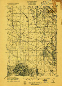
1953 Map of Salem
USGS Topo · Published 1953About this map
The Willamette River valley serves as the central corridor for this 1950s regional survey, showing the agricultural and industrial heartland of Oregon. This map documents the connectivity between major population centers like Salem, Corvallis, Albany, and the twin cities of Eugene and Springfield. The landscape is defined by the contrast between the flat valley floor and the dense timberlands of the Coast Range and Cascade Range.
Find a feature on this map
296 named features on this map. Tap any name to fly to it.
Don’t see what you’re looking for? This feature index may not catch every label — zoom into the map to look around manually.
Map Details
Editions of this 1953 Salem Map
This is the sole edition of this map. No revisions or reprints were ever made.
Other maps of this area

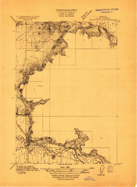
1909 · Harrisburg
USGS Topo · 1:31,680

1909 · Rowland
USGS Topo · 1:31,680

1909 · Elmira
USGS Topo · 1:62,500

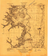
1910 · Eugene
USGS Topo · 1:62,500
1911 · Brownsville
USGS Topo · 1:31,680
1911 · Lebanon
USGS Topo · 1:31,680

1911 · Monroe
USGS Topo · 1:31,680

1911 · Tangent
USGS Topo · 1:31,680
1911 · Inavale
USGS Topo · 1:31,680

1912 · Jefferson
USGS Topo · 1:31,680